Brian's WX
KJ4TDM
  • Home
  • Amateur Radio
    • Shack Pictures
    • Solar Powered Digipeater
  • Projects
    • Antenna Projects
    • Weather Balloon Tracking & Recovering
    • Weather Satellite Images
    • Photography
    • 2014 UAH Student Balloons
    • Student Balloon Launch 6-11-16
    • Backpacking
    • Meshtastic
    • GOES 16 Satellite RX Station
    • TinyGS Project
  • Live Scanner Feed
  • Links
  1. You are here:  
  2. Home
  3. Projects
  4. Backpacking
  5. Backpacking

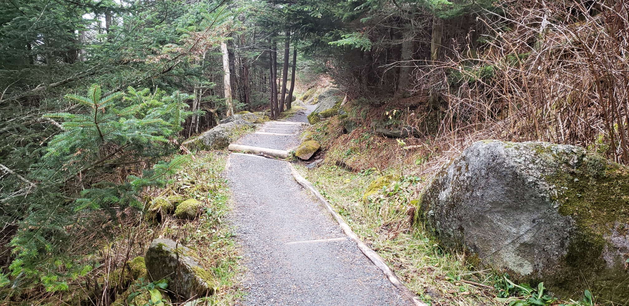
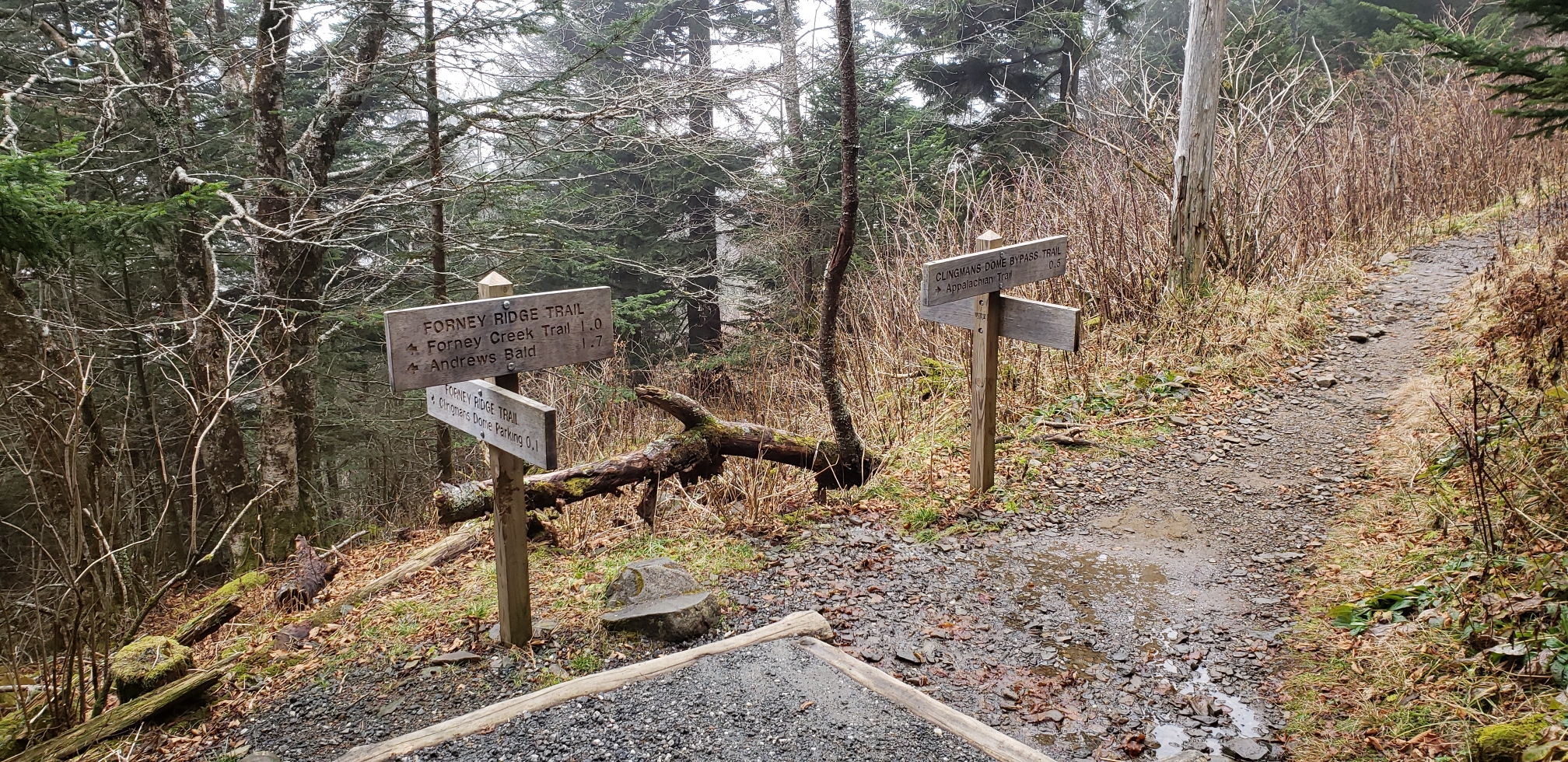
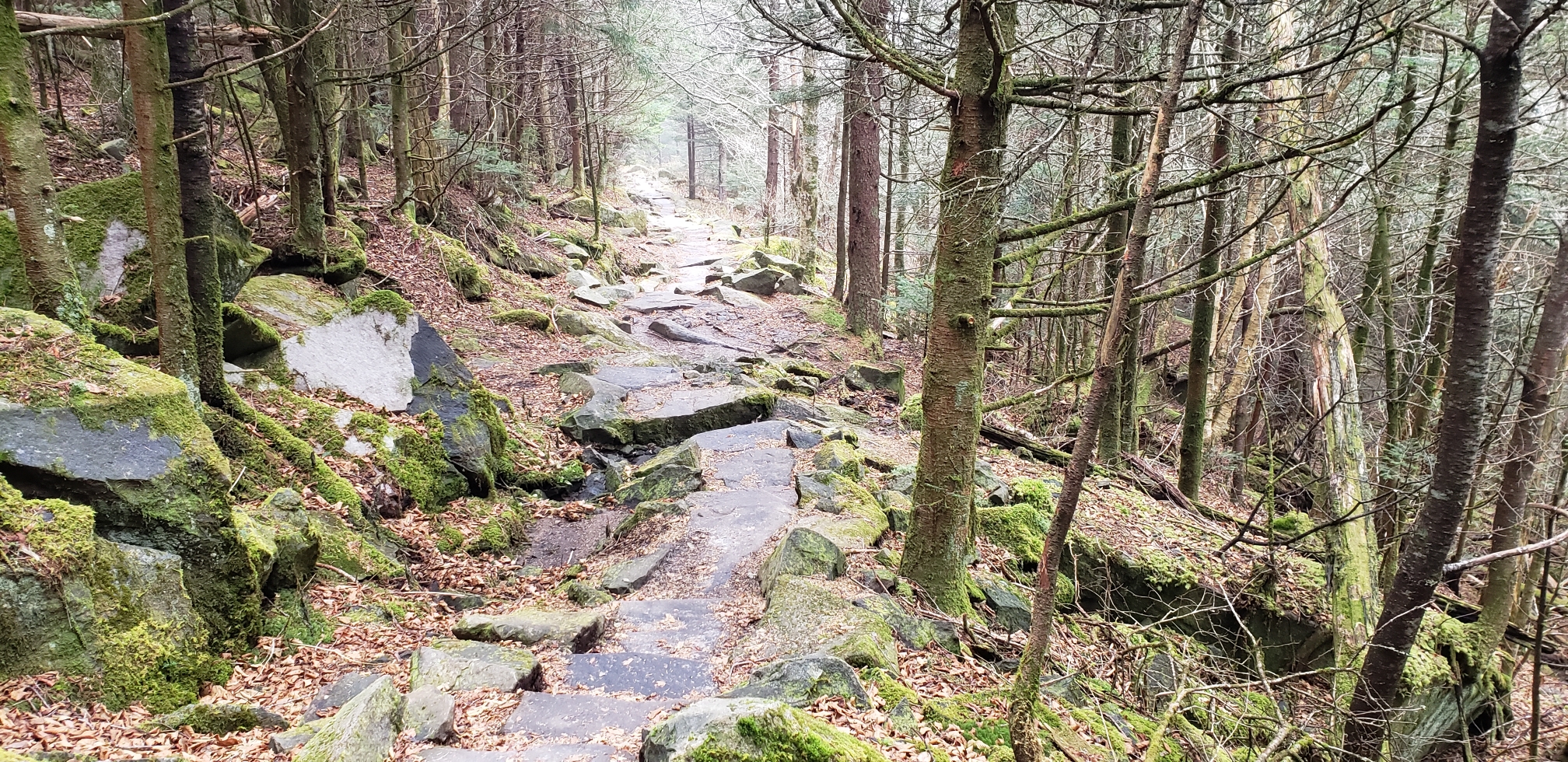
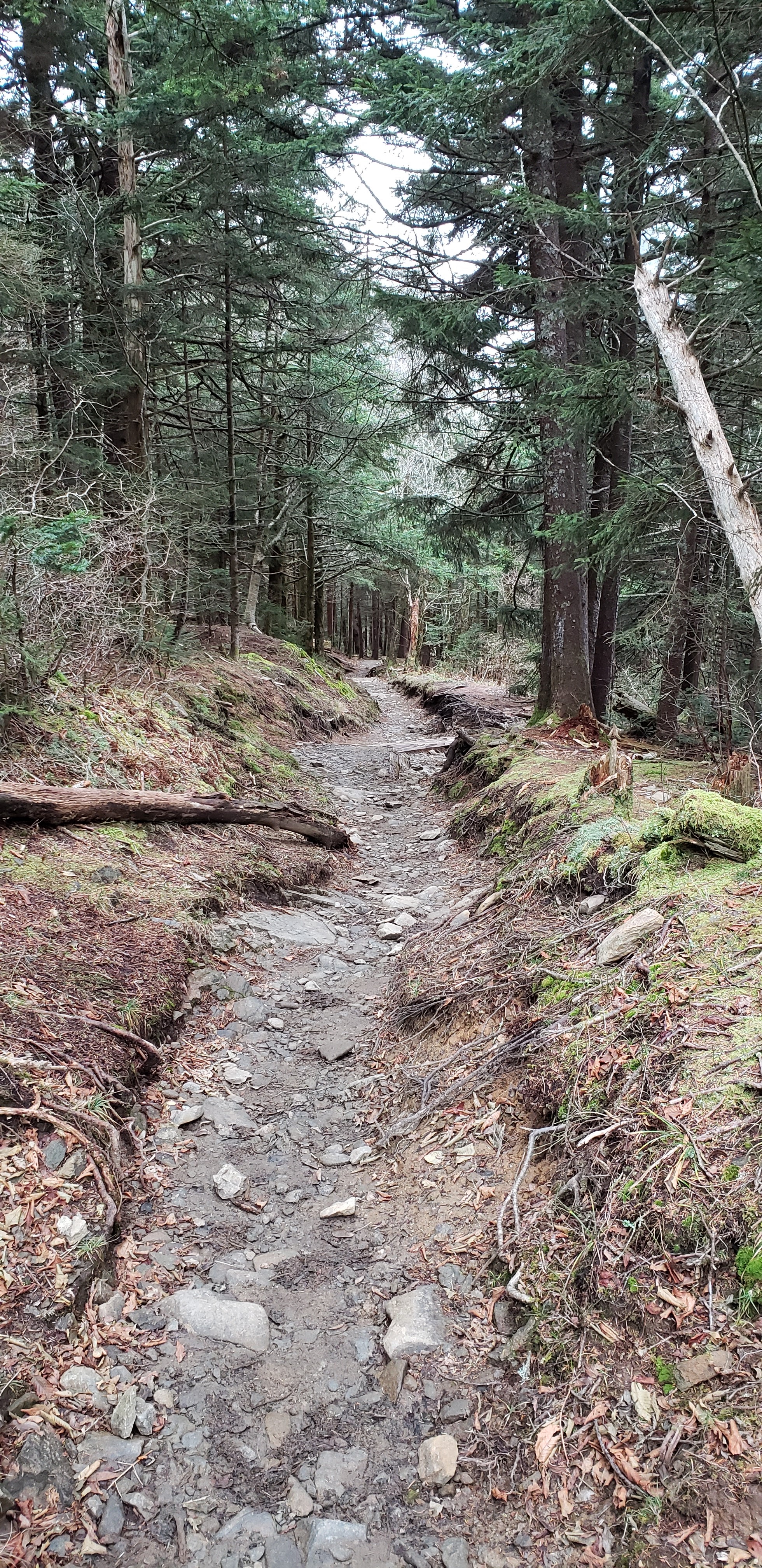
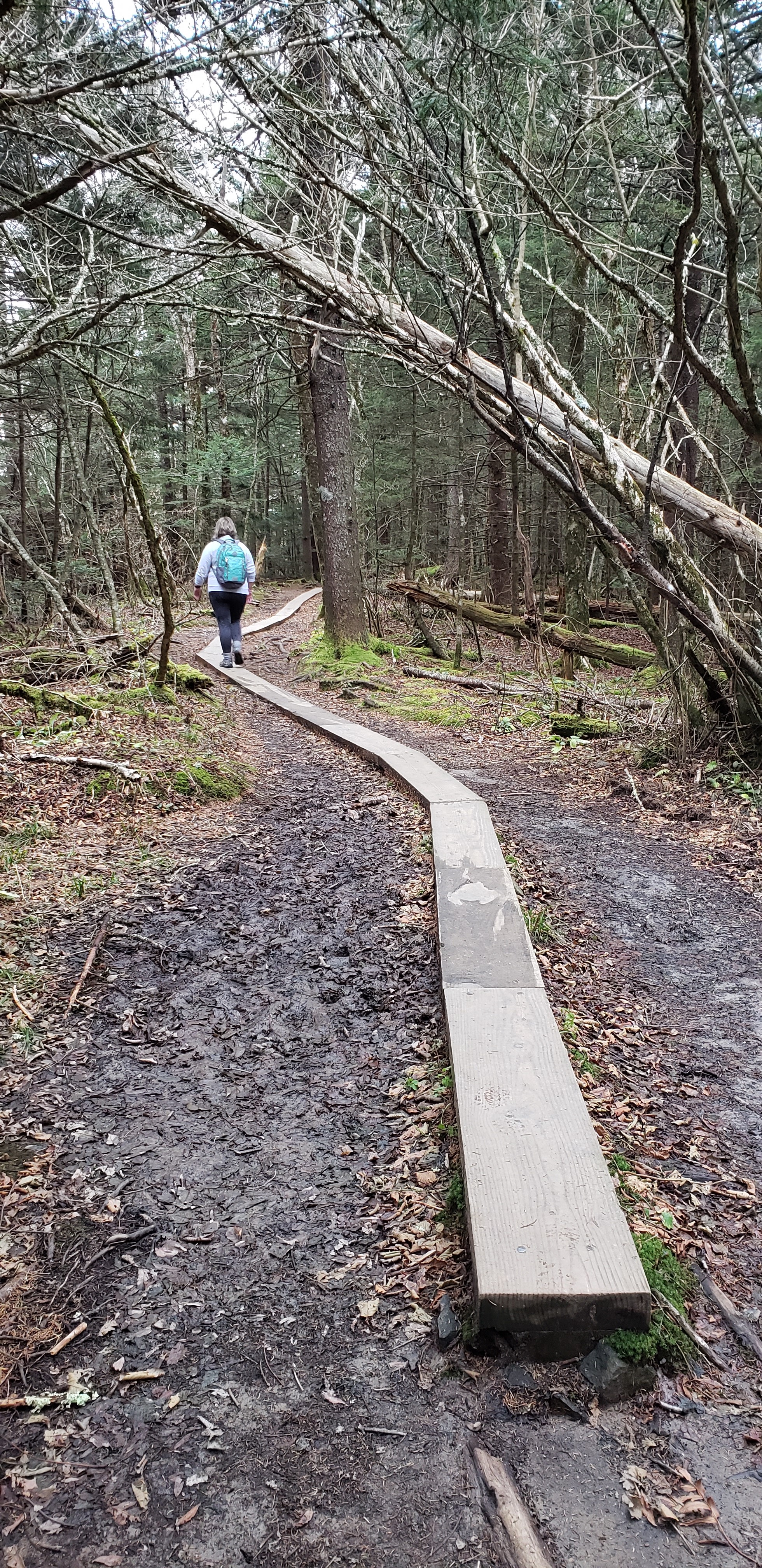
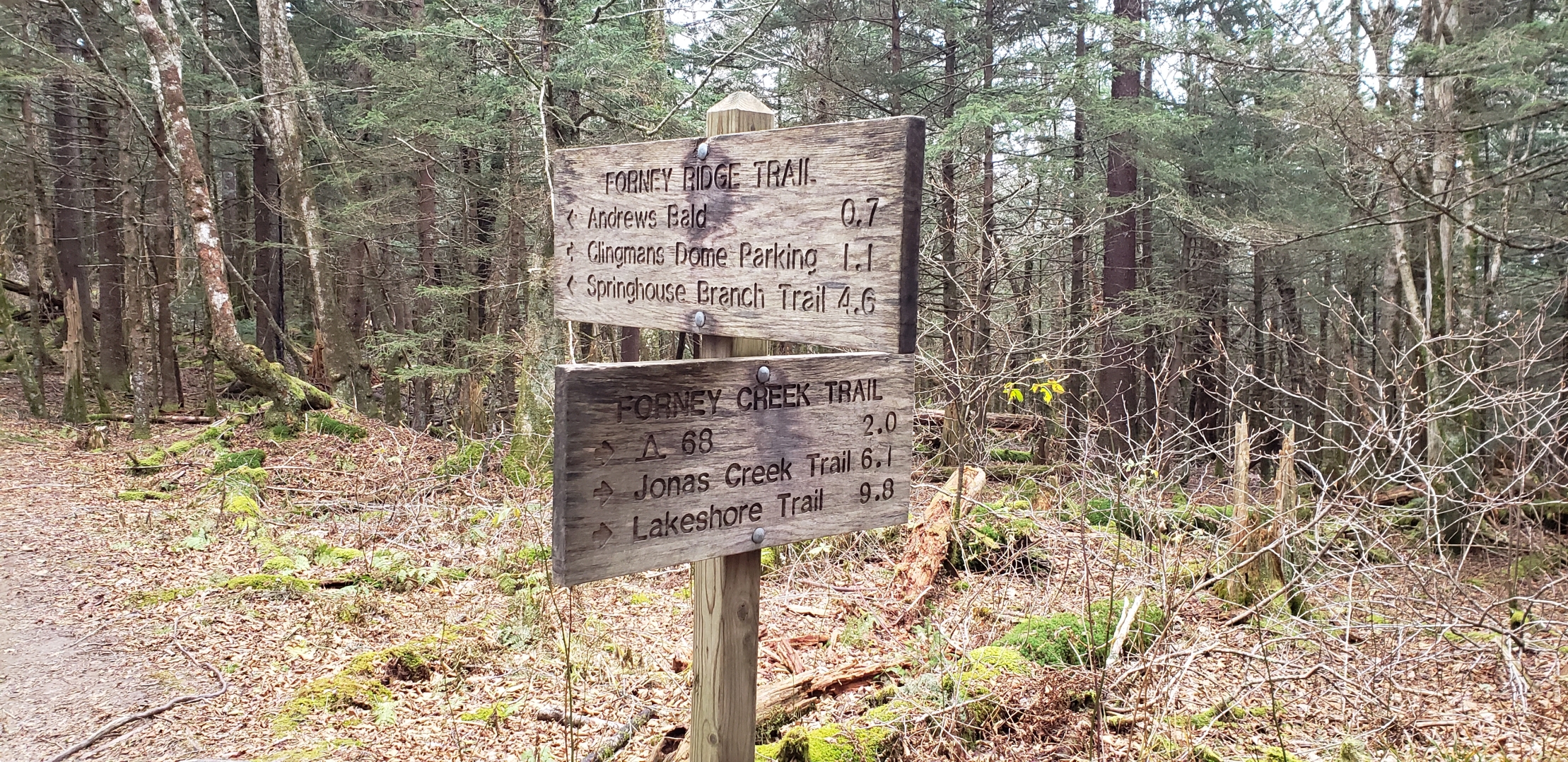
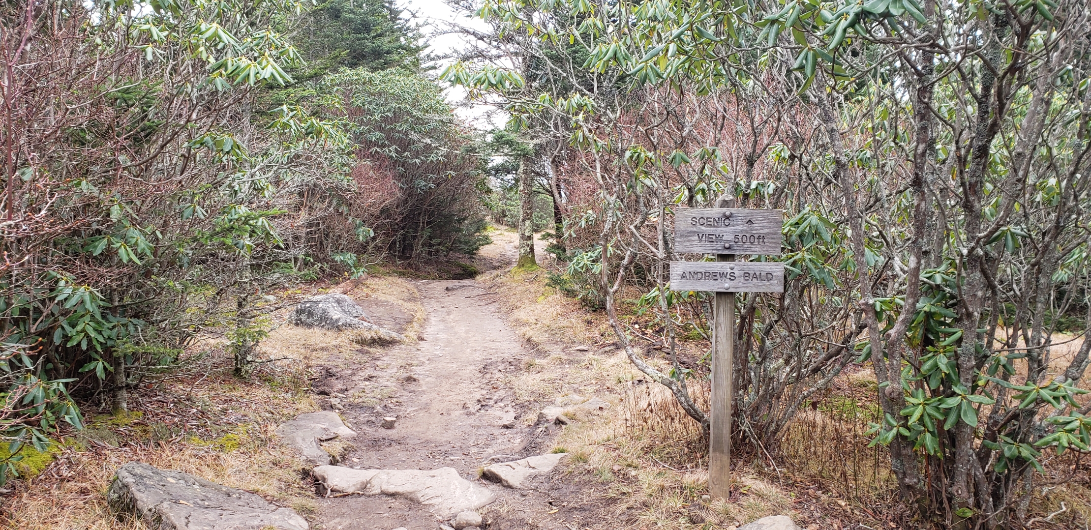
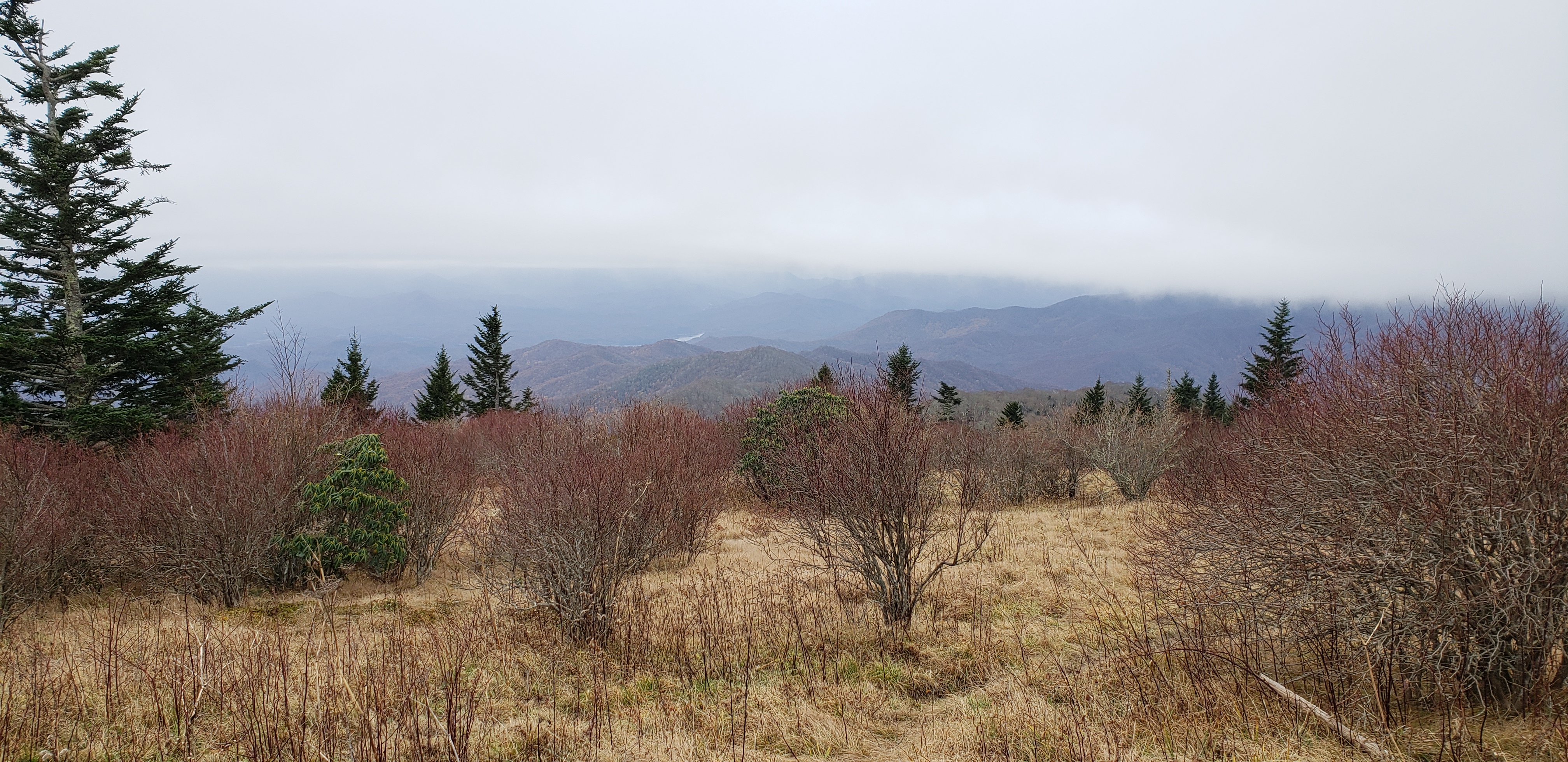
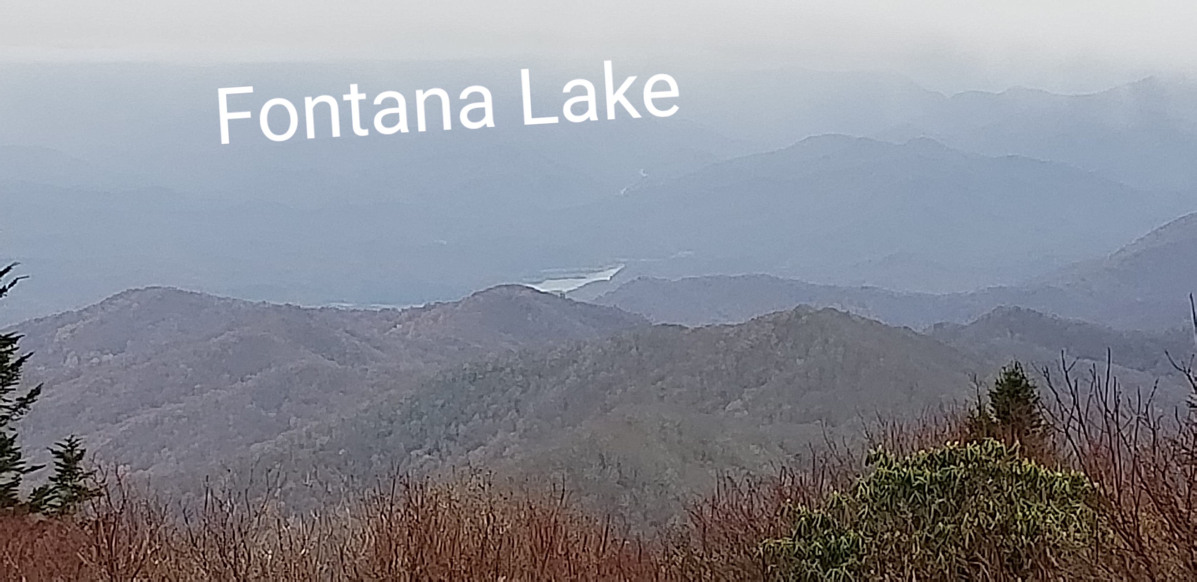
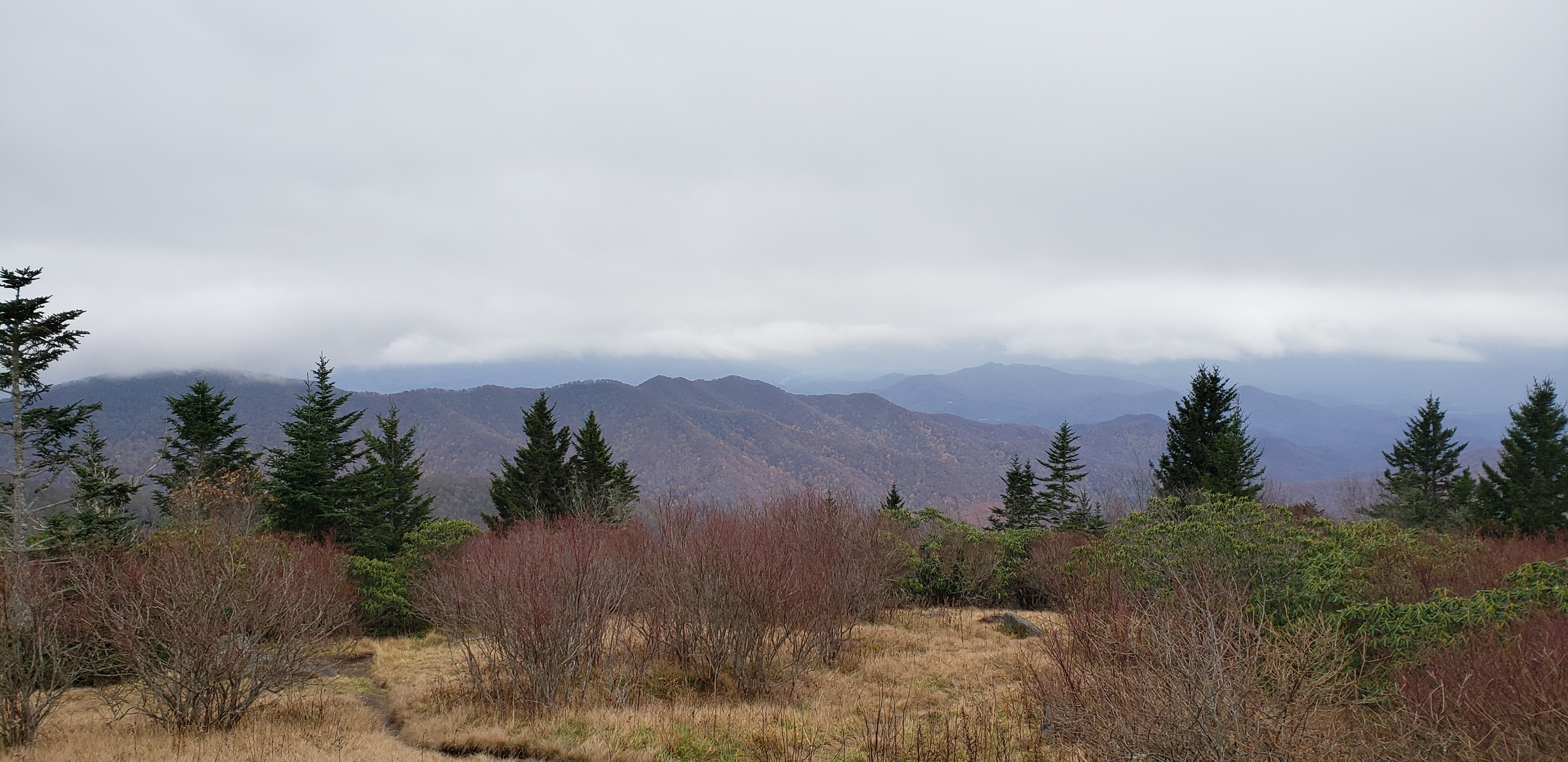
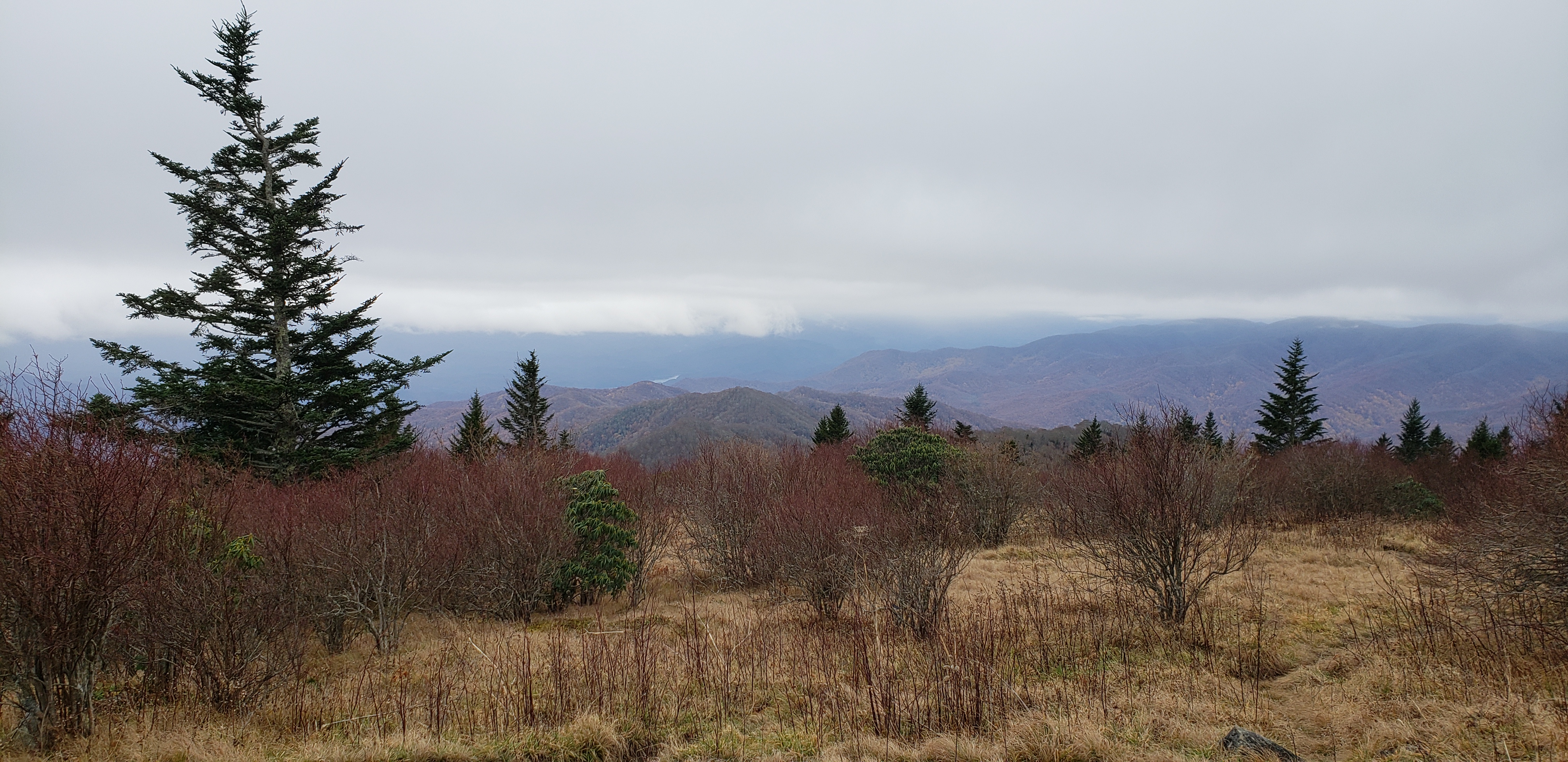
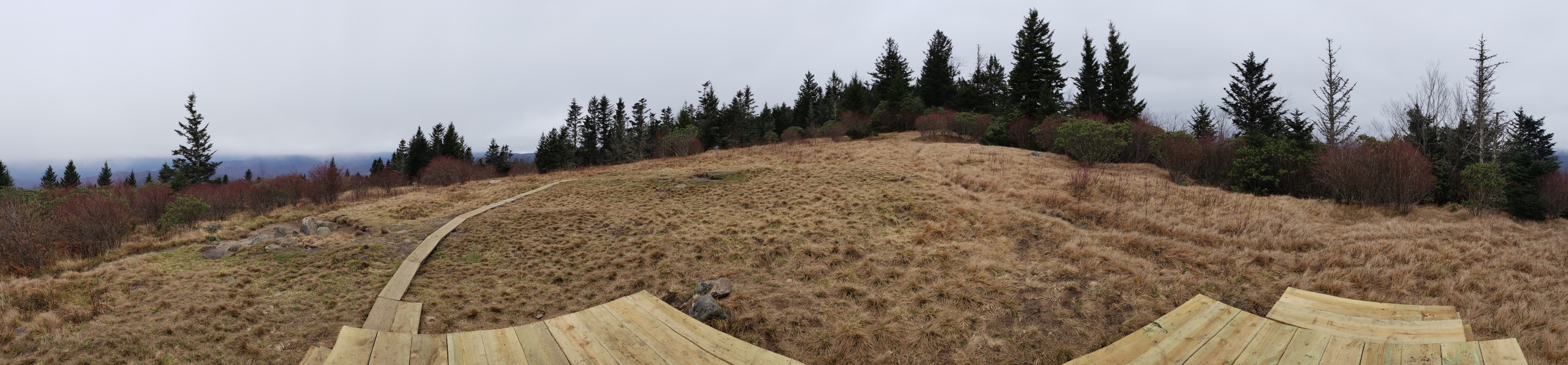
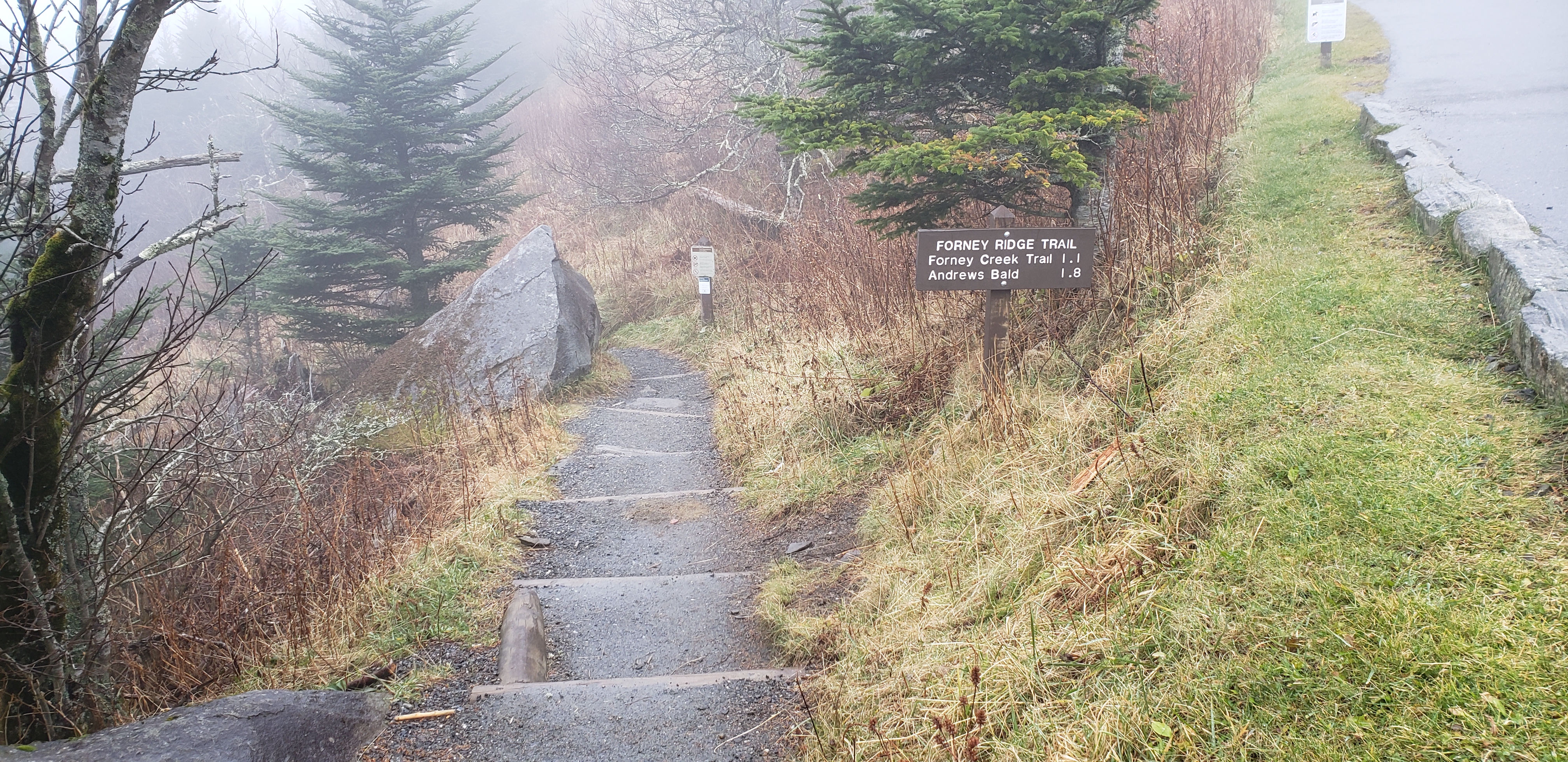
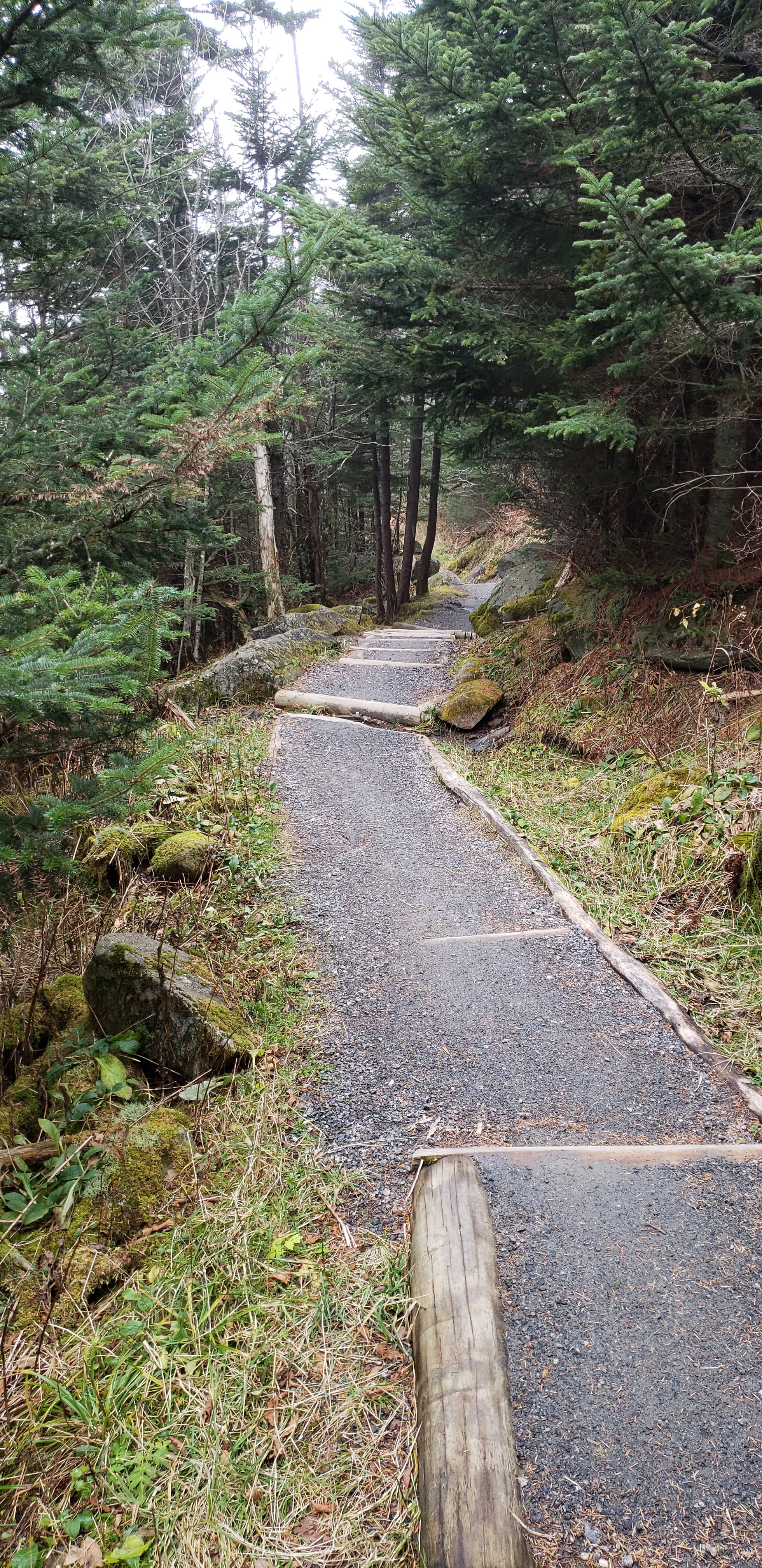
Andrews Bald is located in the Great Smoky Mountains National Park. Trailhead access is off the parking lot for Clingmans Dome which is closed from Dec. 1 - March 31. You can still hike to the dome, which is I think 7 miles on the Appalachian Trail, but the road is closed. It's a pretty good hike. It will get your heart rate up a bit on the way back out as it is mostly uphill. The day we went we were in the clouds most of the time so our view was somewhat limited but it did break enough to give us a view worth the hike. Here is more info about the trail.
  • Click to enlarge image 20-1.jpg
  • Click to enlarge image 20-2.jpg
  • Click to enlarge image 20-3.jpg
  • Click to enlarge image 20-4.jpg
  • Click to enlarge image 20-5.jpg
  • Click to enlarge image 20-6.jpg
  • Click to enlarge image 20-7.jpg
  • Click to enlarge image 20-8.jpg
  • Click to enlarge image 20-9.jpg
  • Click to enlarge image 30-1.jpg
  • Click to enlarge image 30-2.jpg
  • Click to enlarge image 30-3.jpg
  • Click to enlarge image 30-4.jpg
  • Click to enlarge image 30-5.jpg
  • Click to enlarge image 30-6.jpg
  • Click to enlarge image data1.JPG
  • Click to enlarge image data2.JPG
  •  

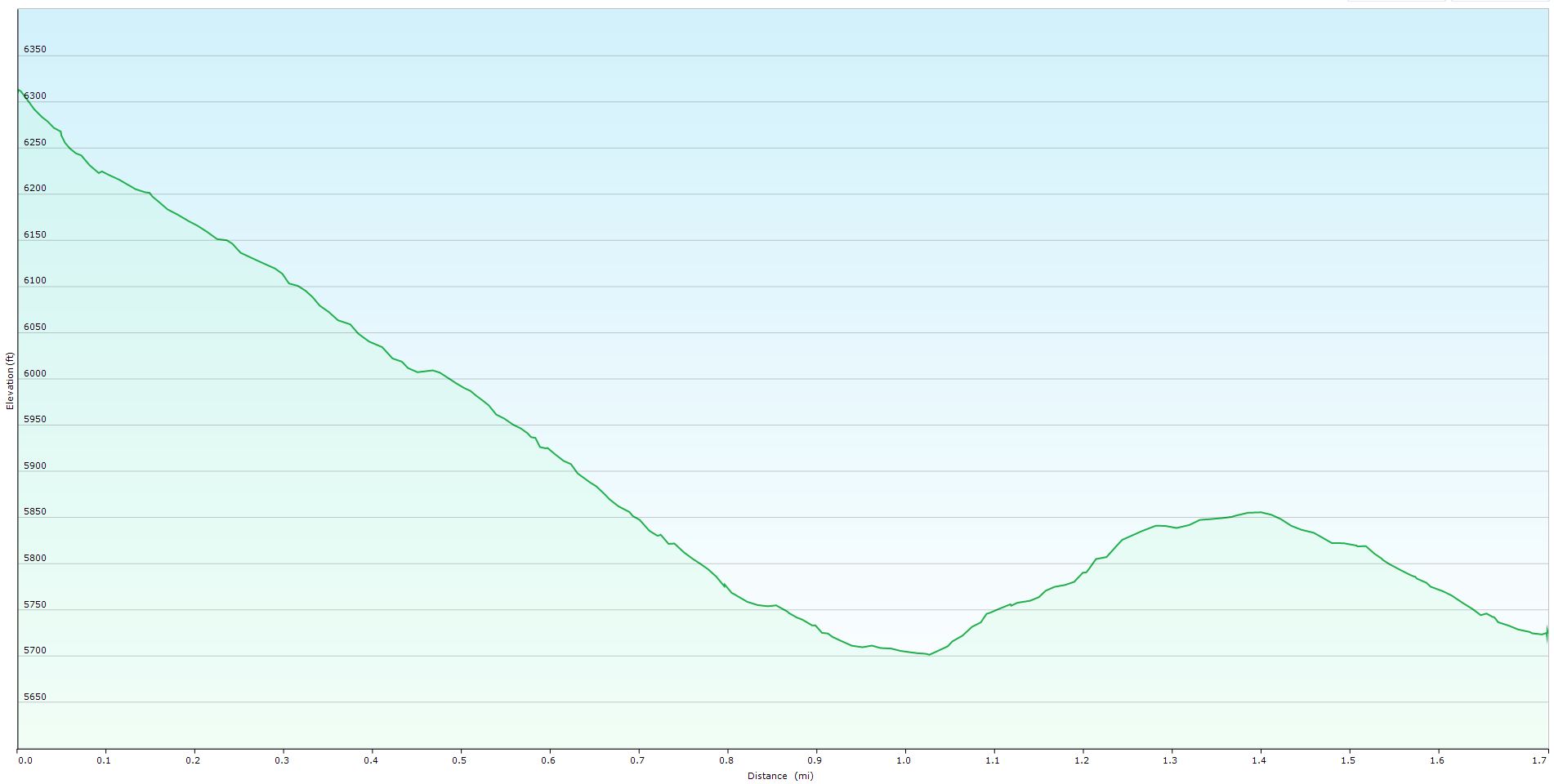
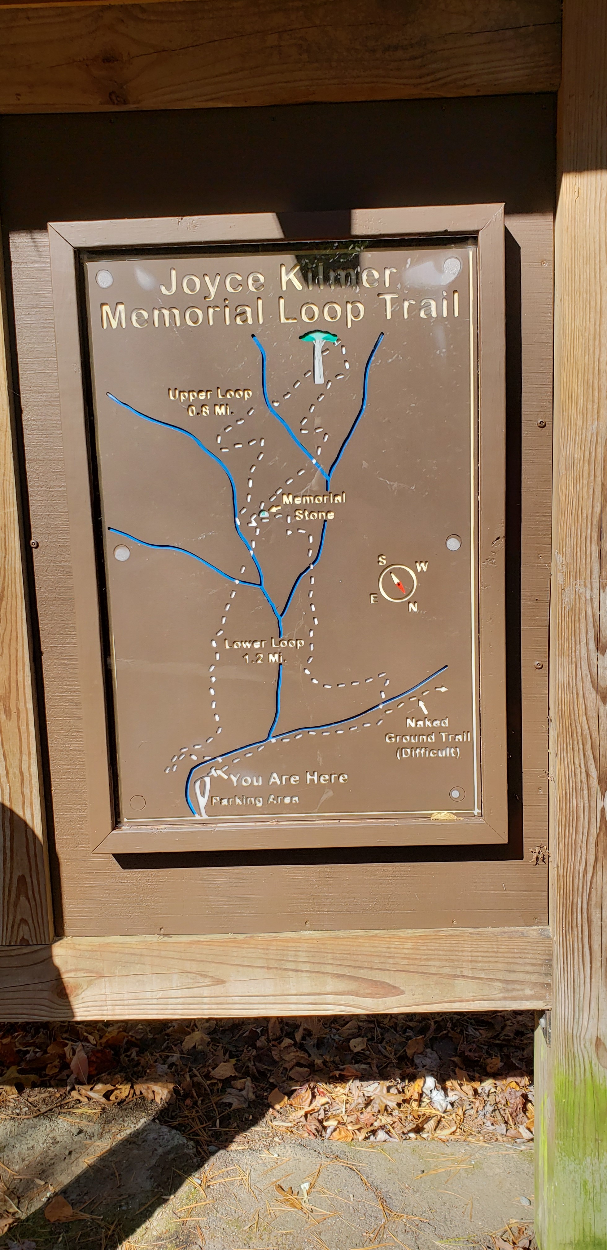
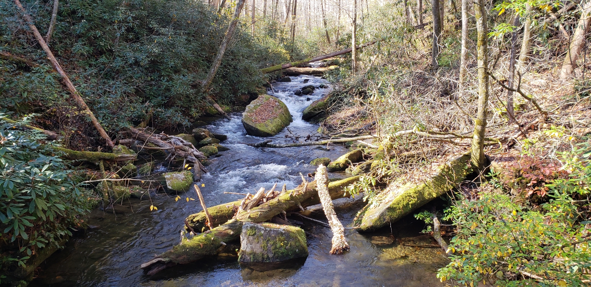
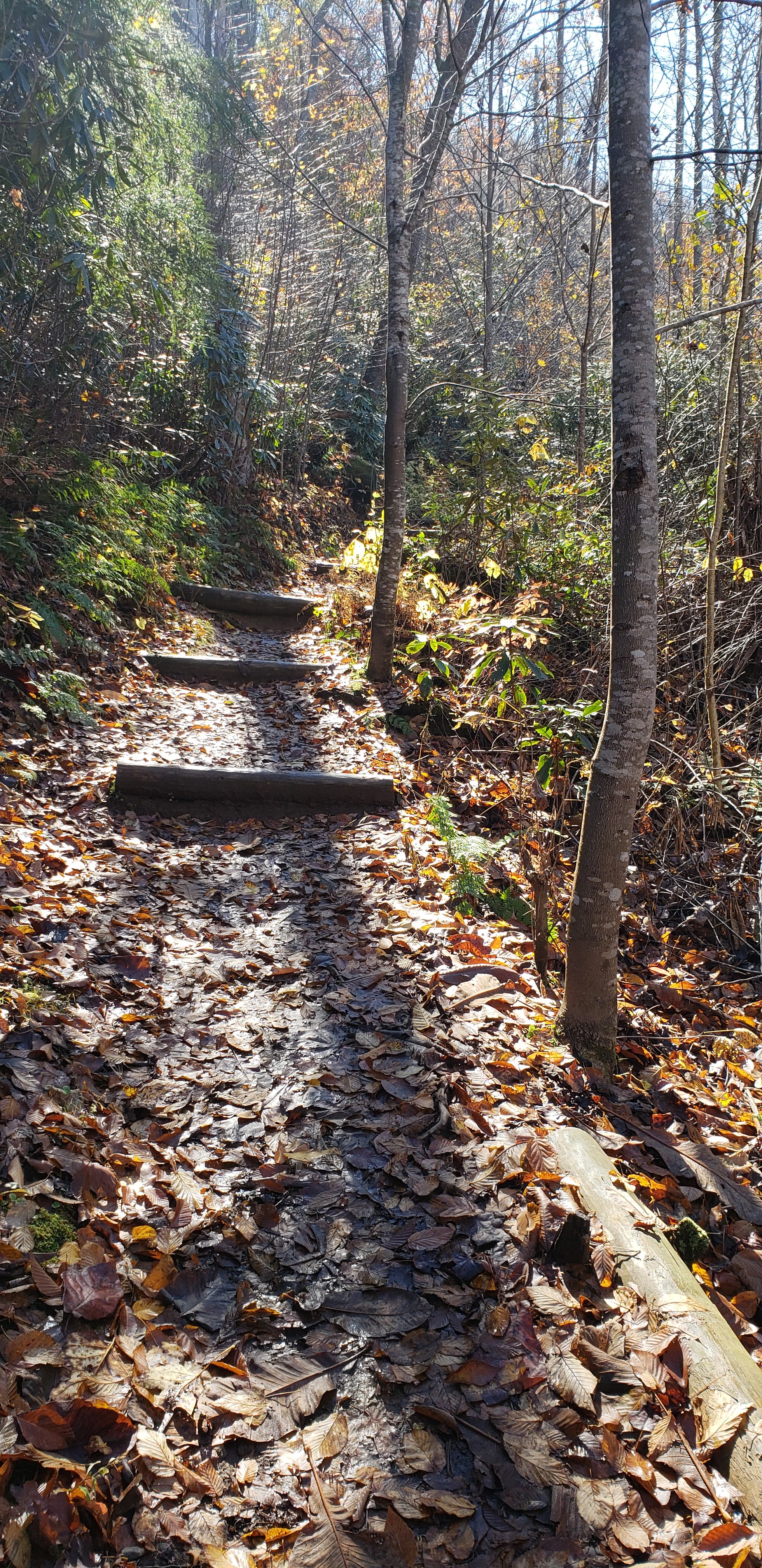
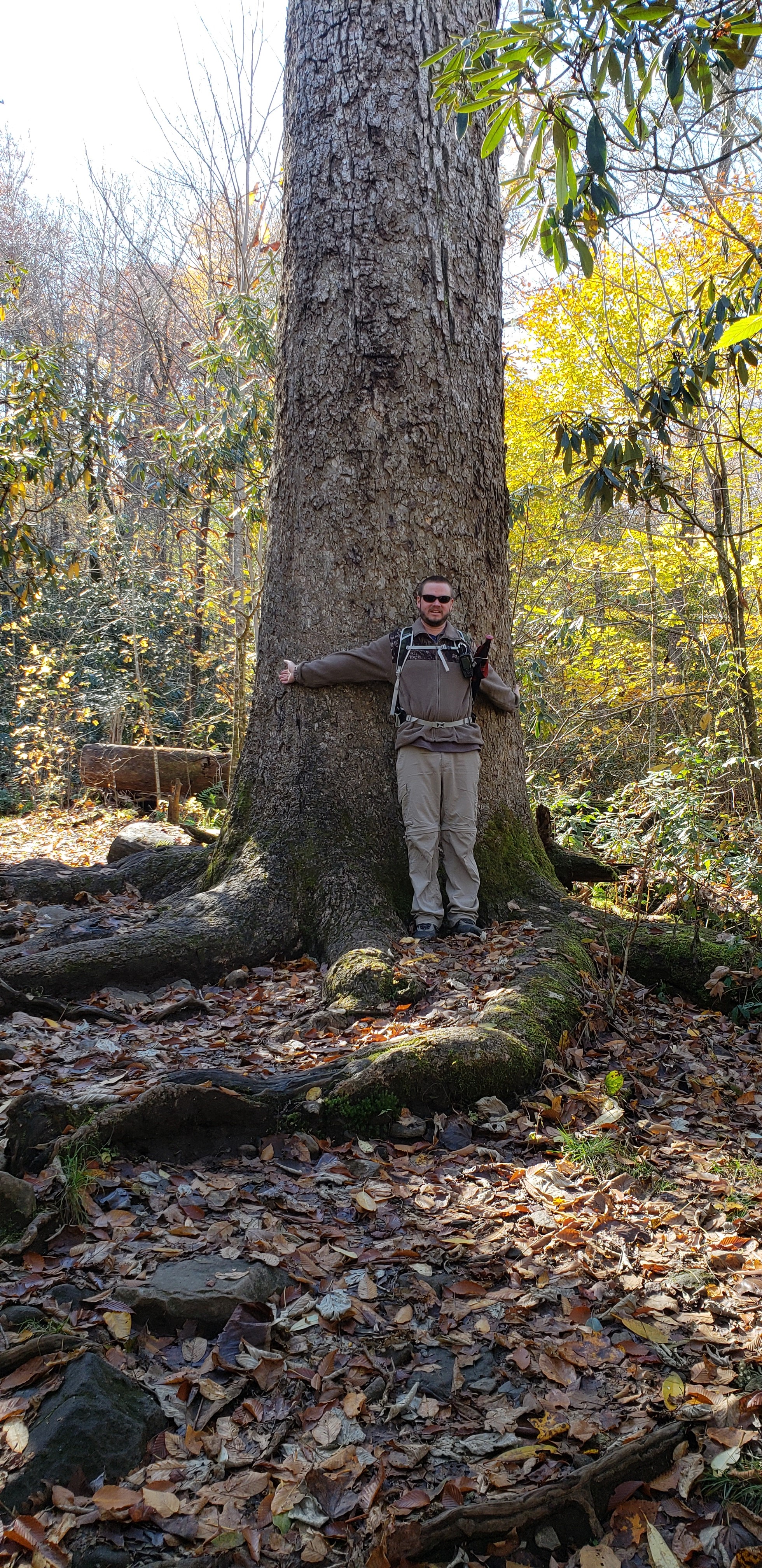
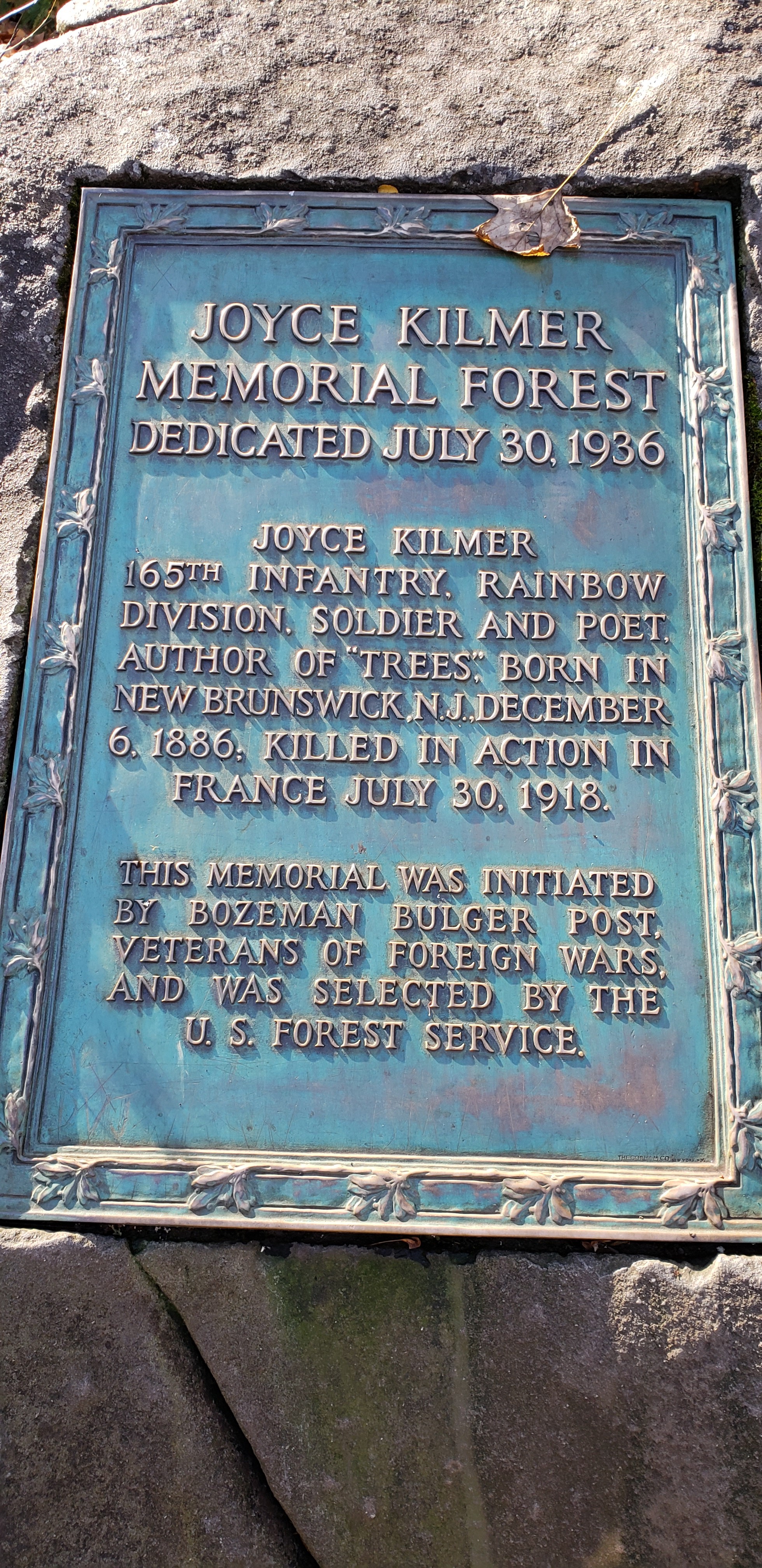
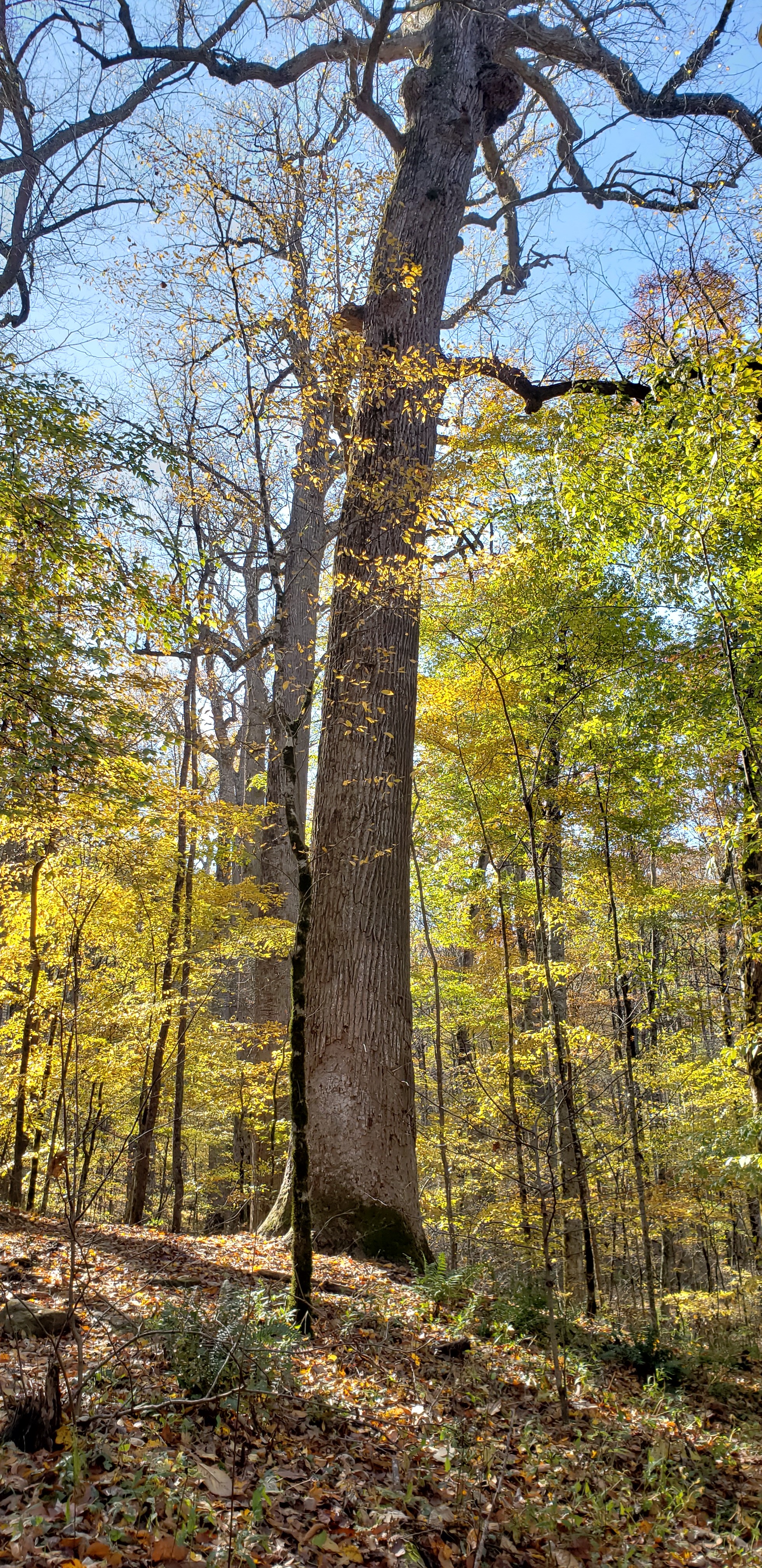
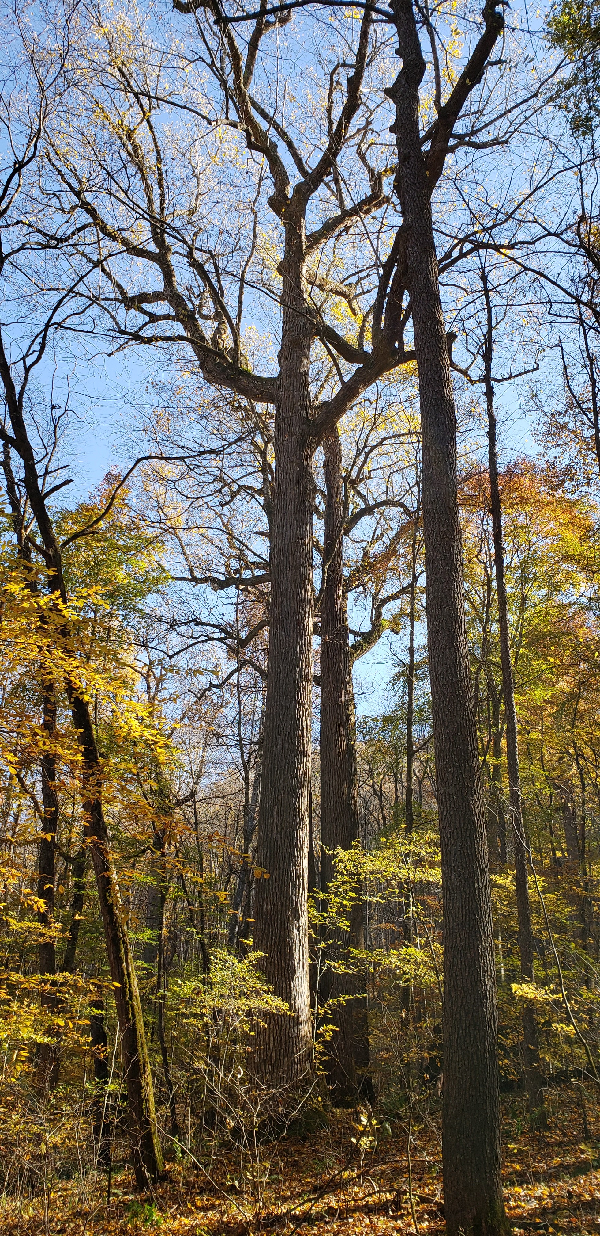
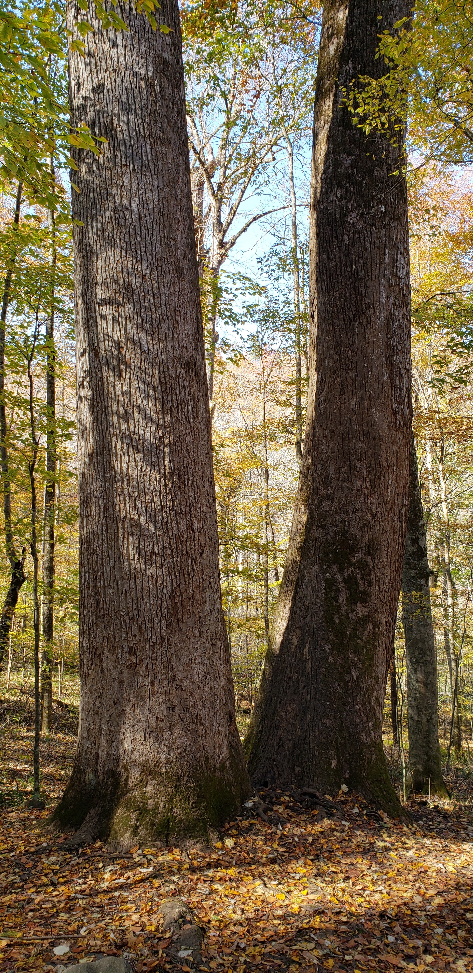
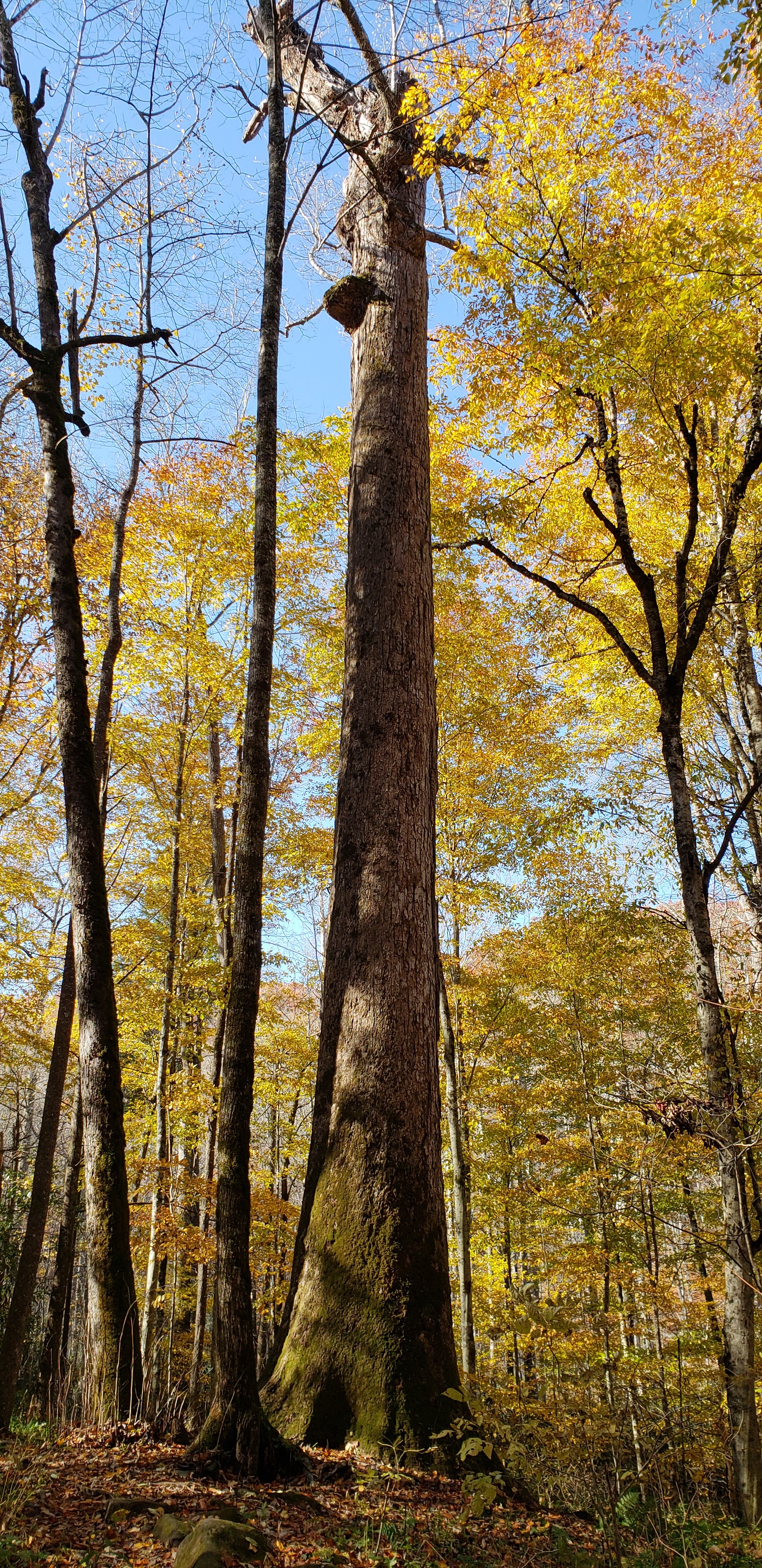
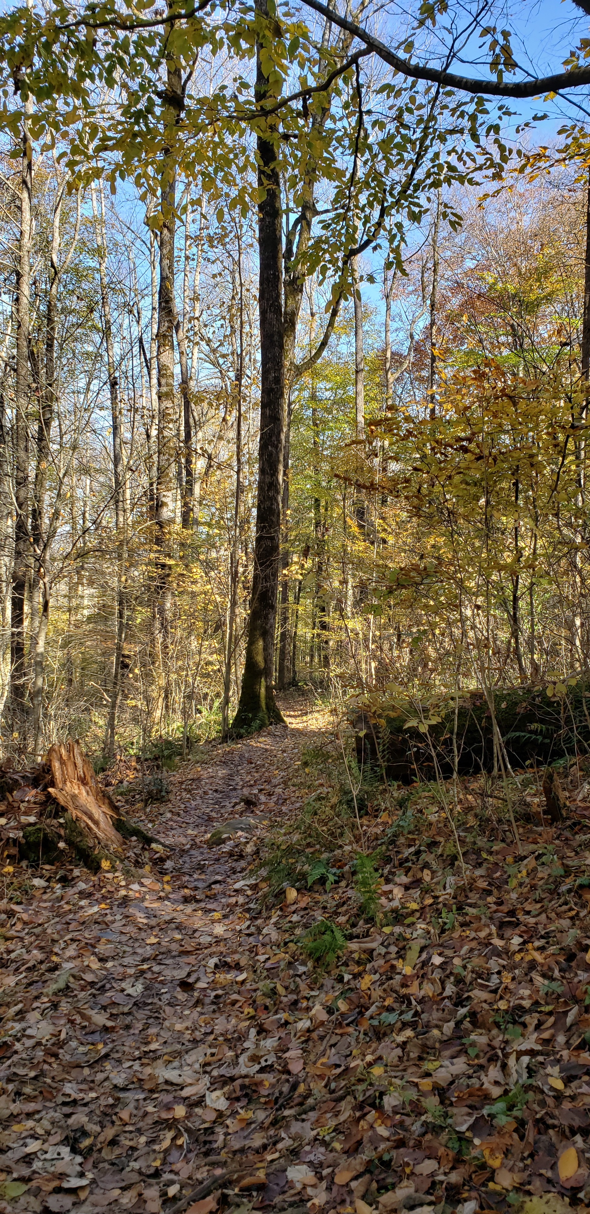
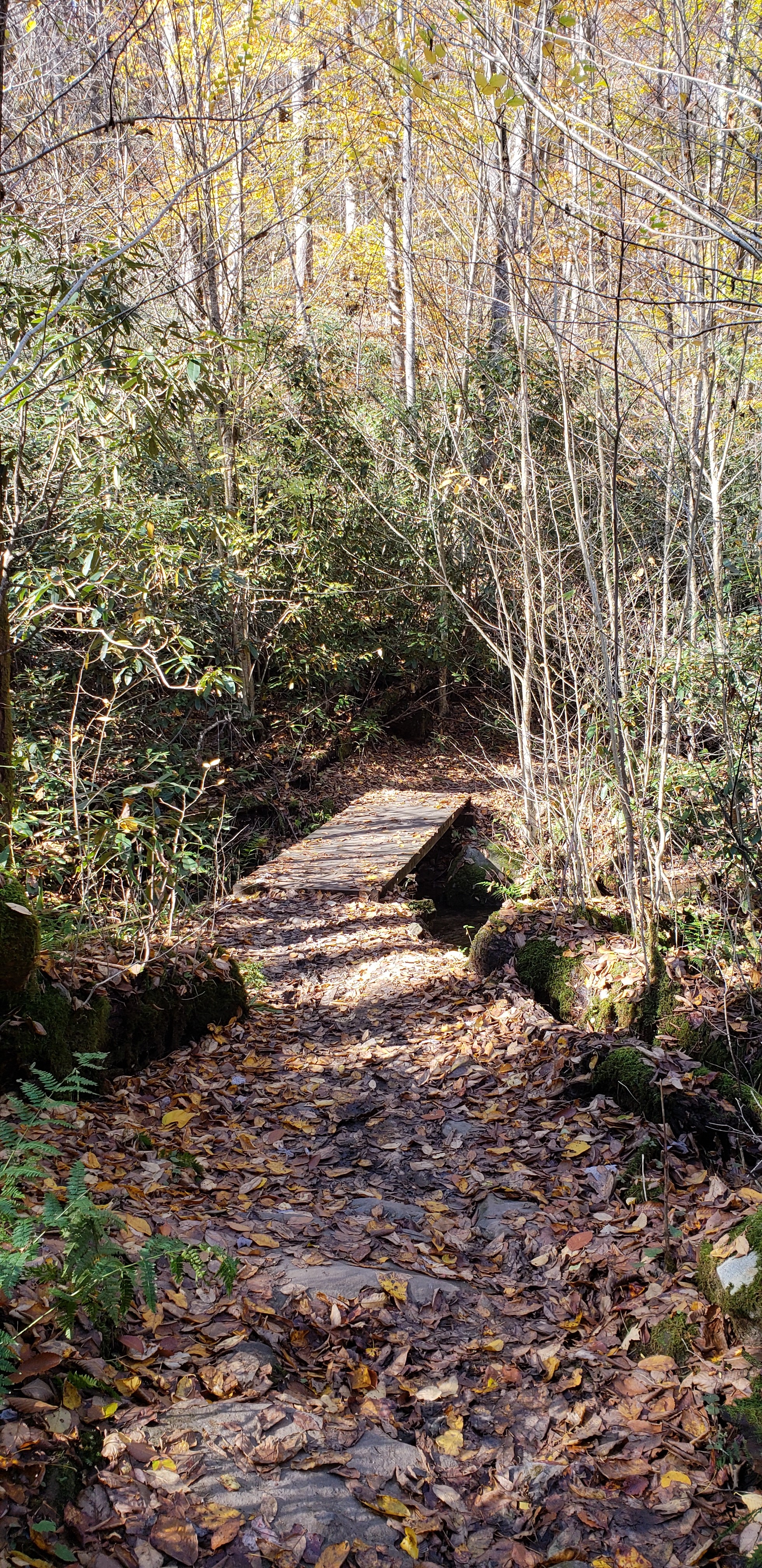
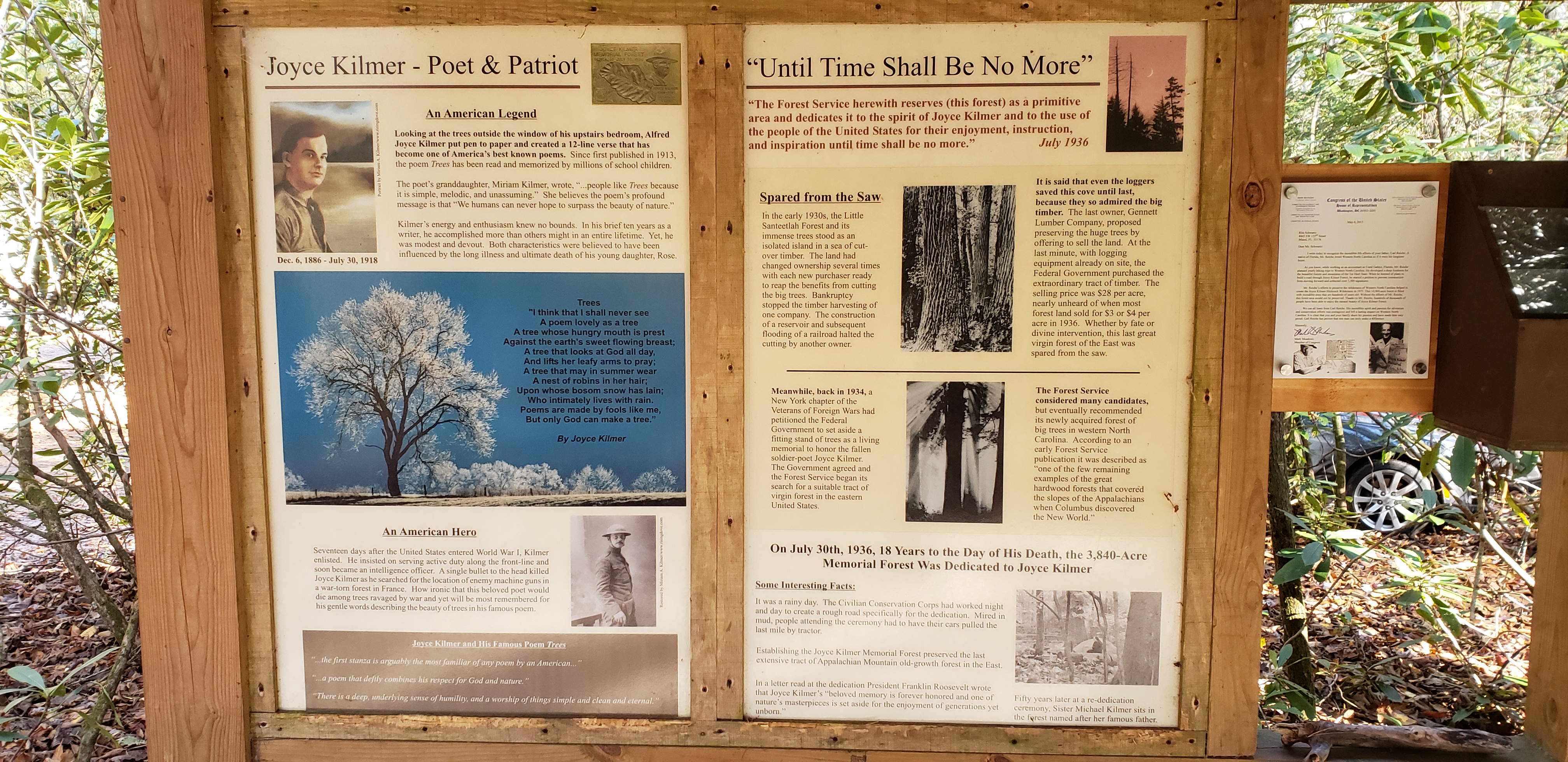
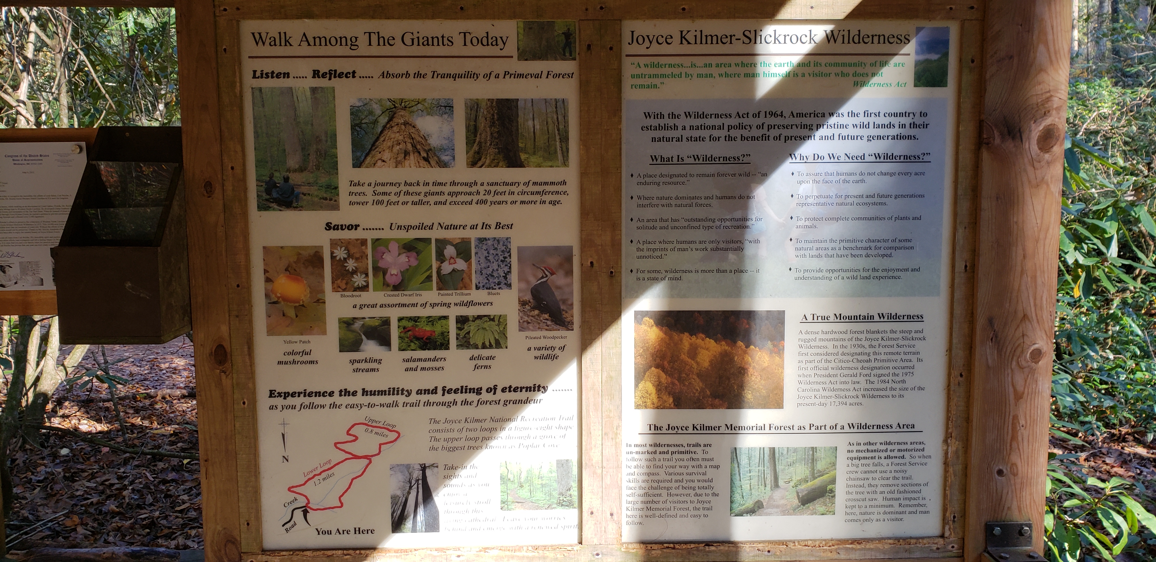
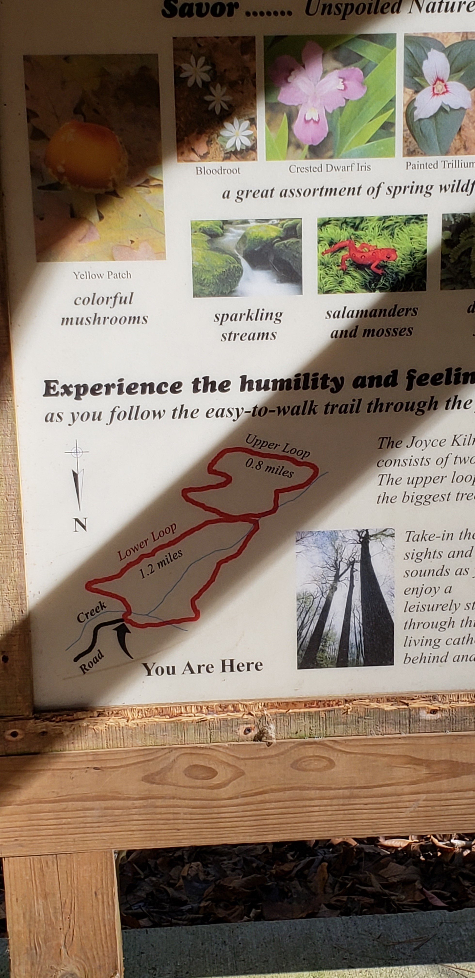
A coworker told me about the big trees here, so I had to make the trip over while vacationing in the Smokies this year. The place didn't disappoint, it has a lot of big trees. Not many people at the park, it's really out in the middle of nowhere. As you can see from the first picture it's broken up into two loops, we just made it 1 big loop. The hike was not hard, didn't really get the heart rate up with this one. It's located in western North Carolina. More info here. 
  • Click to enlarge image 2018-11-10-12.50.43.jpg
  • Click to enlarge image 2018-11-10-13.00.25.jpg
  • Click to enlarge image 2018-11-10-13.01.18.jpg
  • Click to enlarge image 2018-11-10-13.04.43.jpg
  • Click to enlarge image 2018-11-10-13.06.33.jpg
  • Click to enlarge image 2018-11-10-13.14.54.jpg
  • Click to enlarge image 2018-11-10-13.16.51.jpg
  • Click to enlarge image 2018-11-10-13.19.11.jpg
  • Click to enlarge image 2018-11-10-13.22.13.jpg
  • Click to enlarge image 2018-11-10-13.29.00.jpg
  • Click to enlarge image 2018-11-10-13.32.56.jpg
  • Click to enlarge image 2018-11-10-13.39.19.jpg
  • Click to enlarge image 2018-11-10-13.45.57.jpg
  • Click to enlarge image 2018-11-10-14.05.54.jpg
  • Click to enlarge image 2018-11-10-14.06.05.jpg
  • Click to enlarge image data1.JPG
  •  

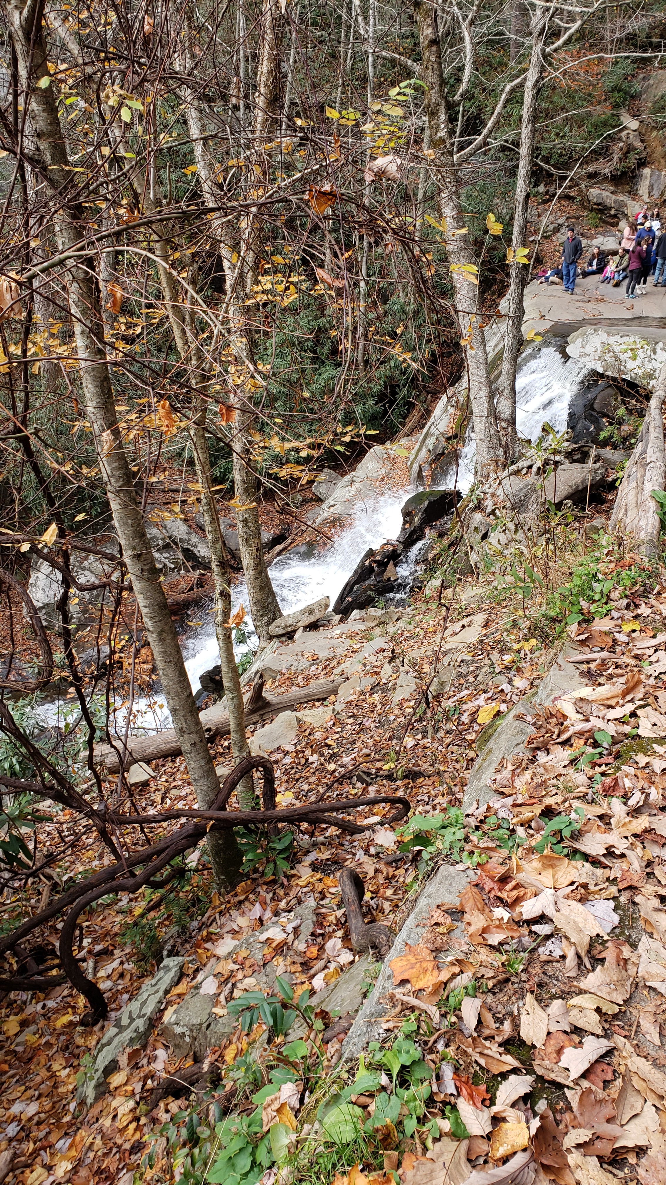
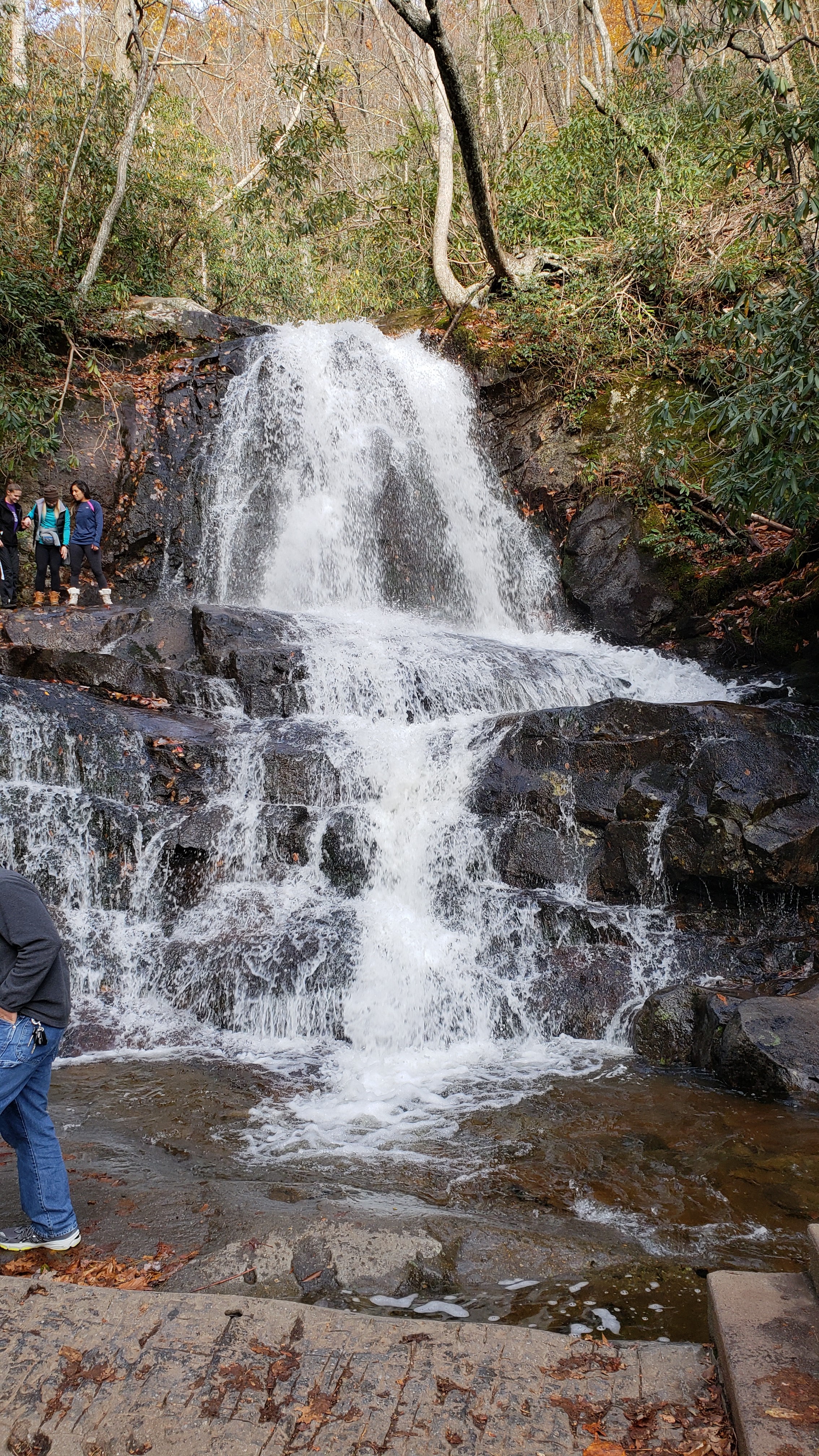
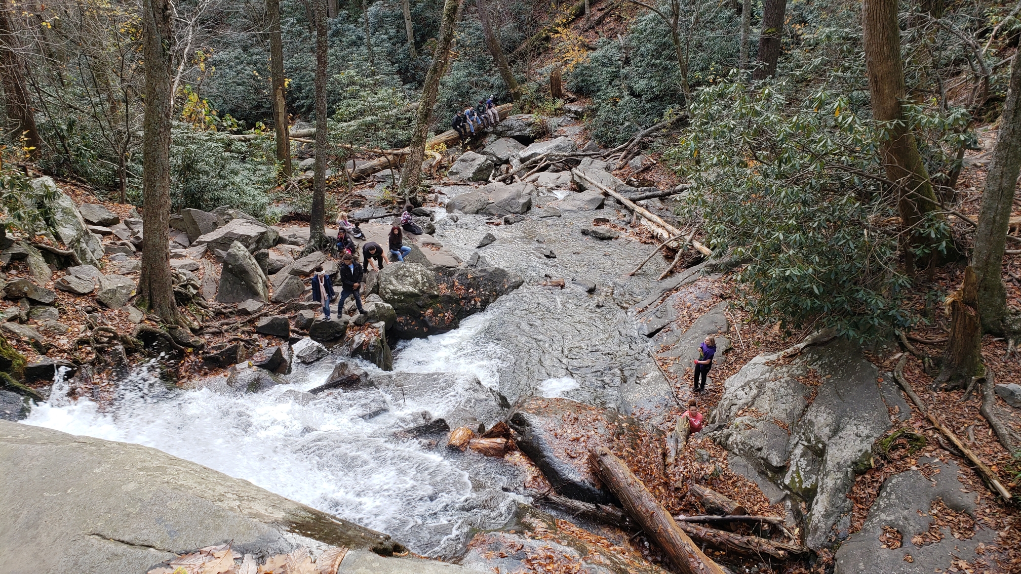
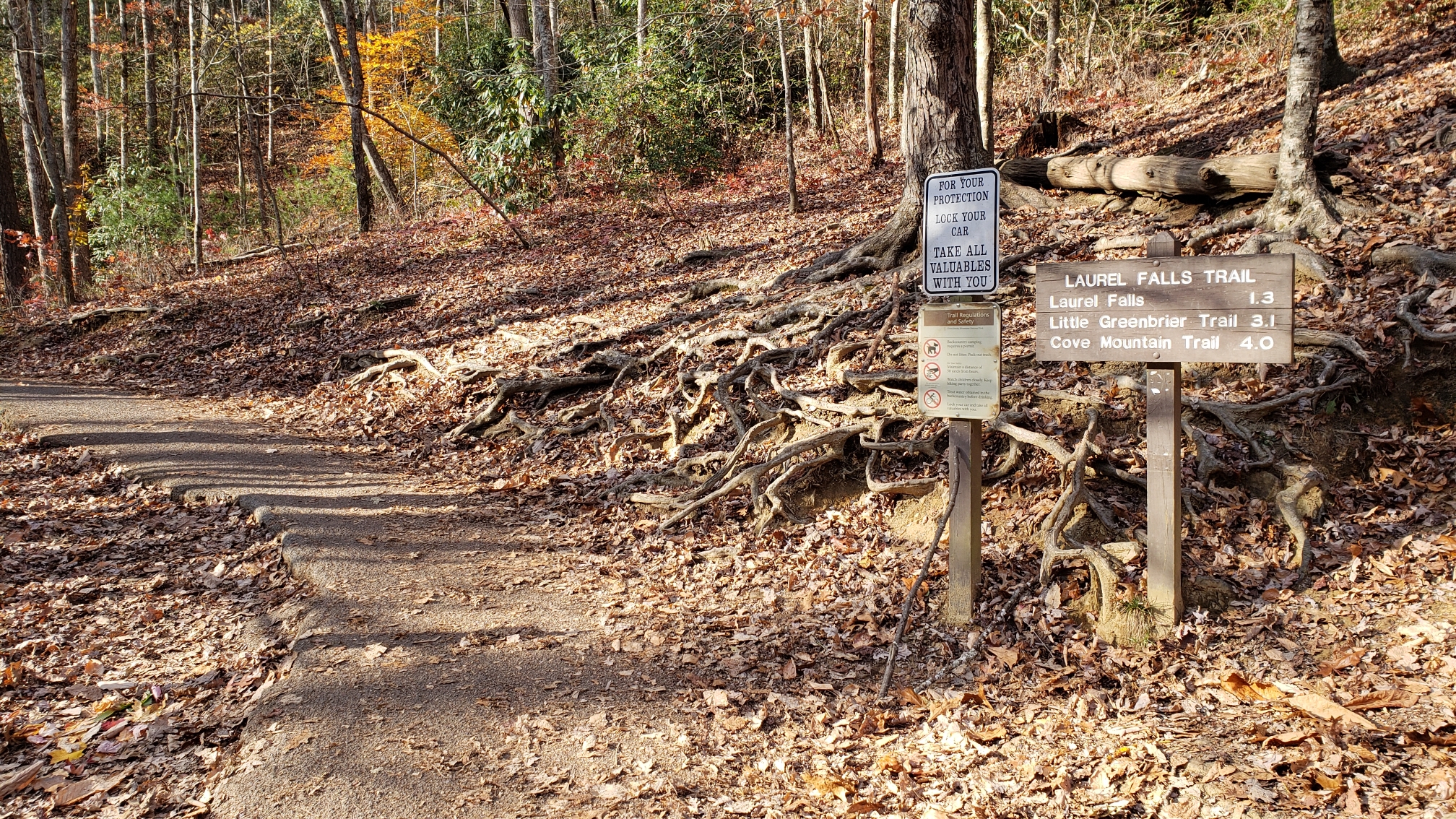
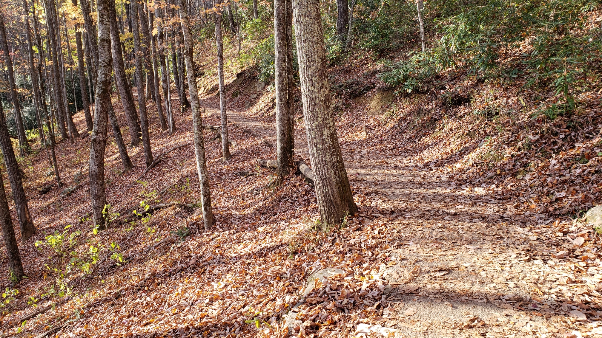
Laurel Falls is located in the Great Smoky Mountains National Park. It's a short 1.3-mile hike on a paved path to the falls. It's a very popular place. More info can be found here.
  • Click to enlarge image 2018-11-11-15.11.44.jpg
  • Click to enlarge image 2018-11-11-15.22.43.jpg
  • Click to enlarge image 2018-11-11-15.35.49.jpg
  • Click to enlarge image 2018-11-11-15.42.19.jpg
  • Click to enlarge image 2018-11-11-15.45.09.jpg
  • Click to enlarge image 2018-11-11-15.47.39.jpg
  • Click to enlarge image data1.JPG
  •  

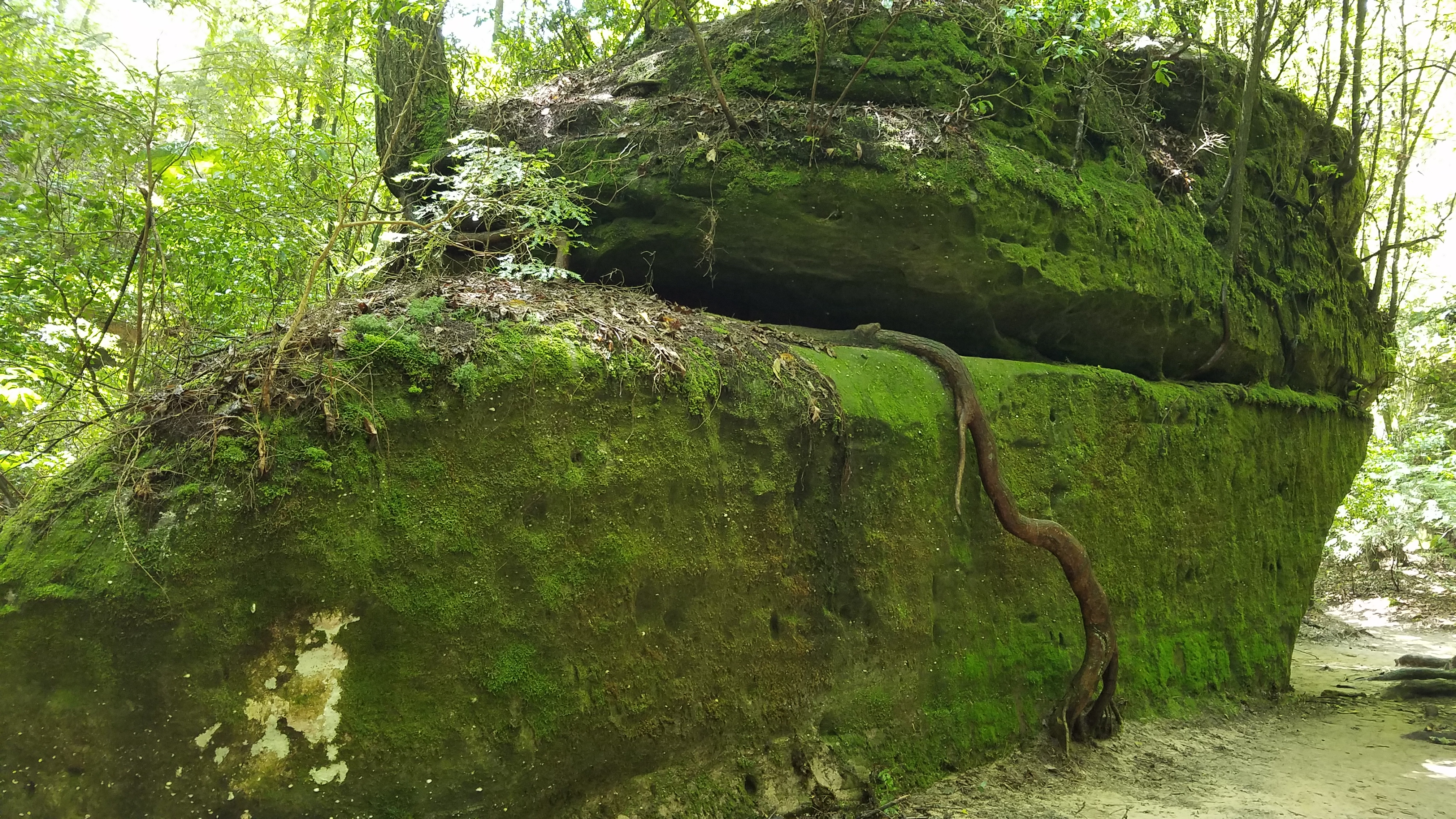
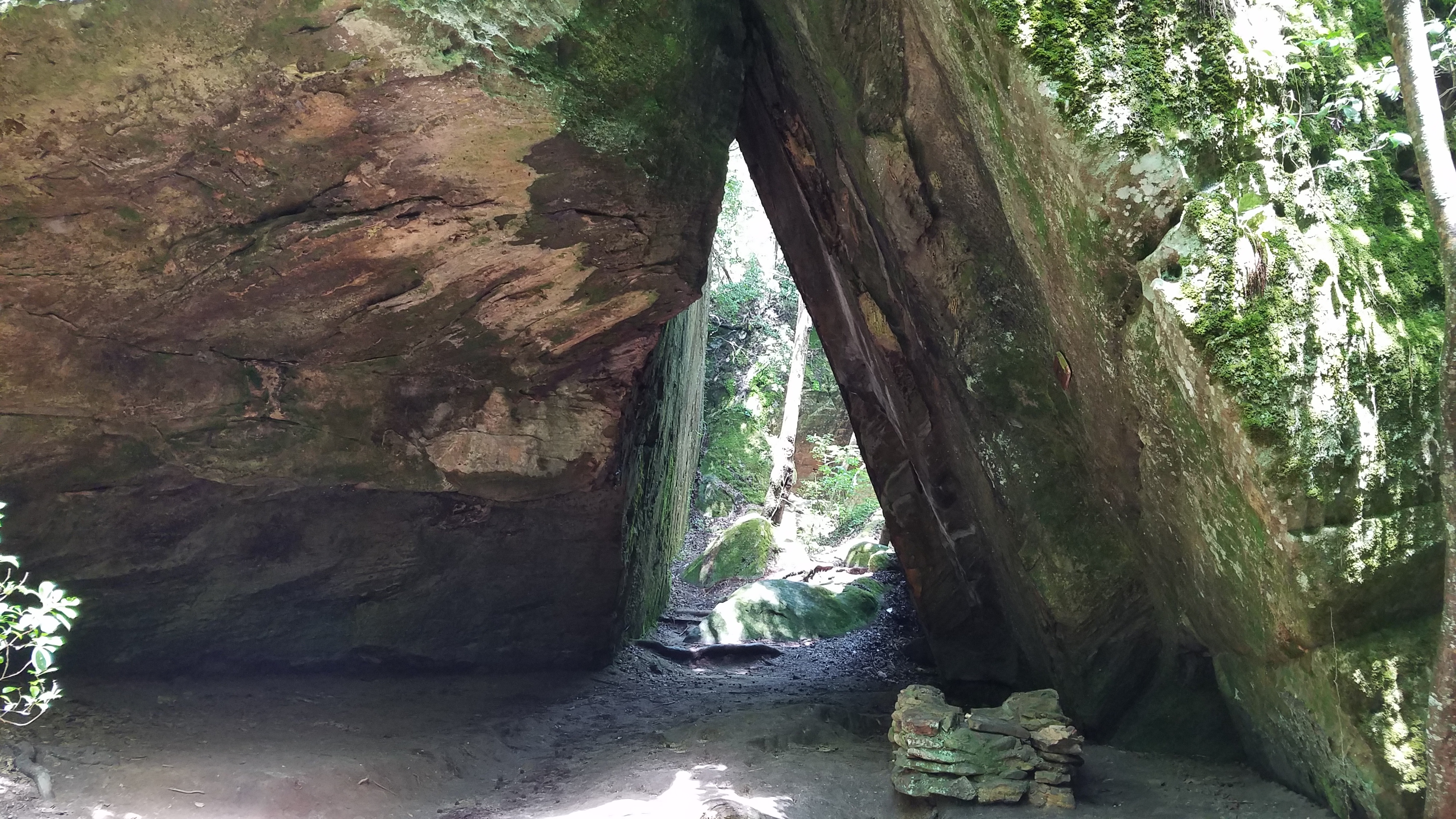
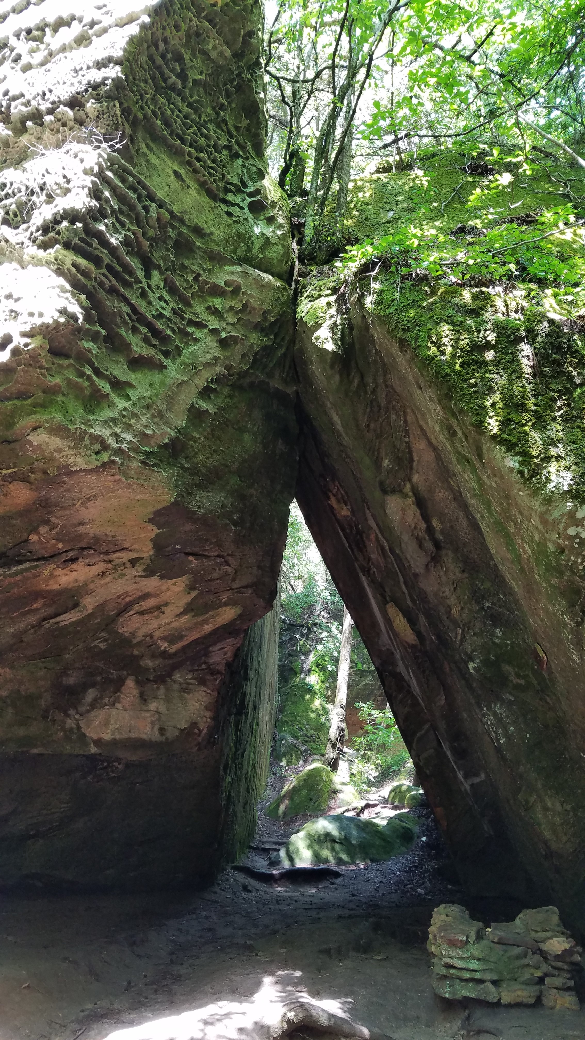
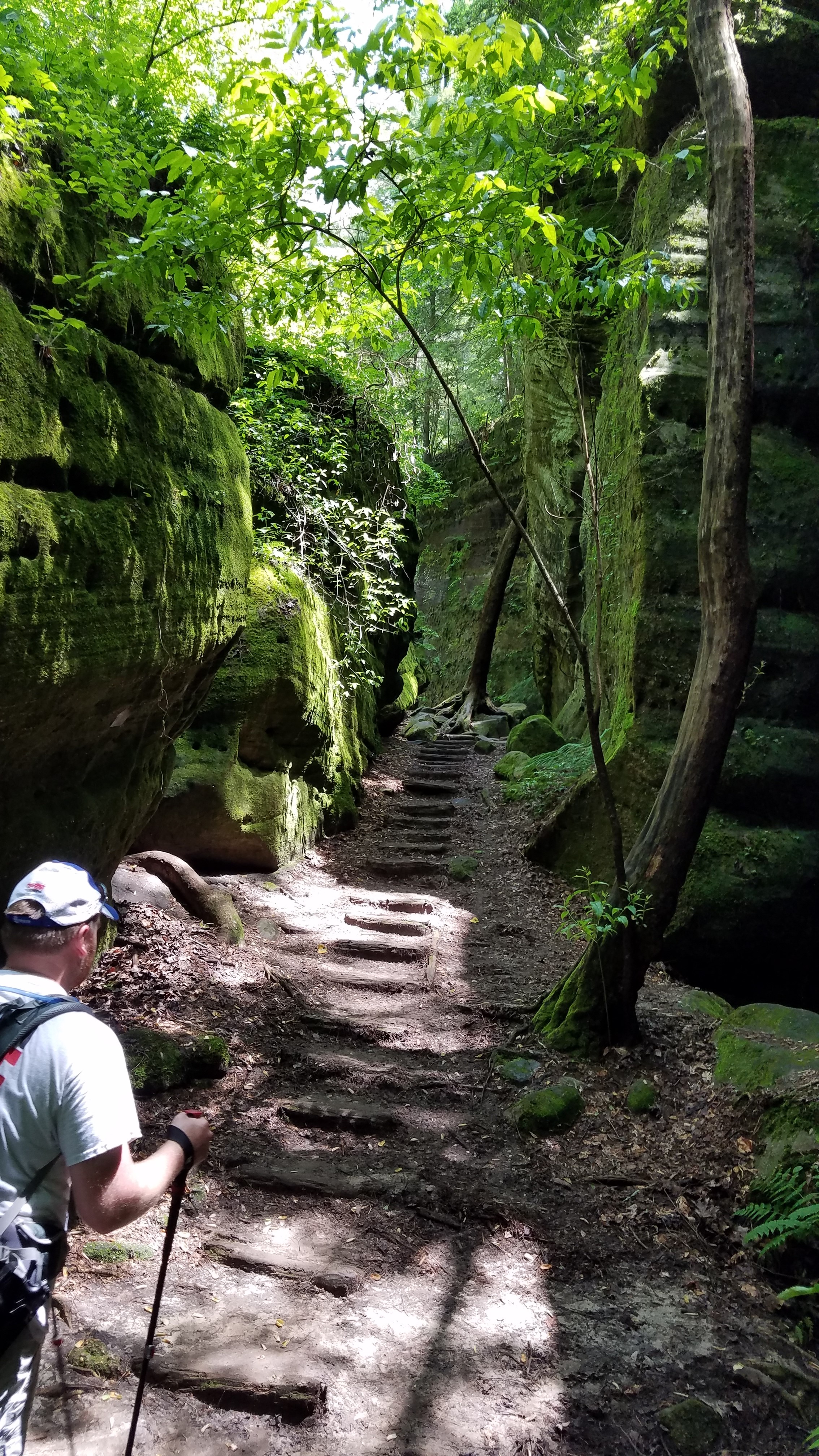
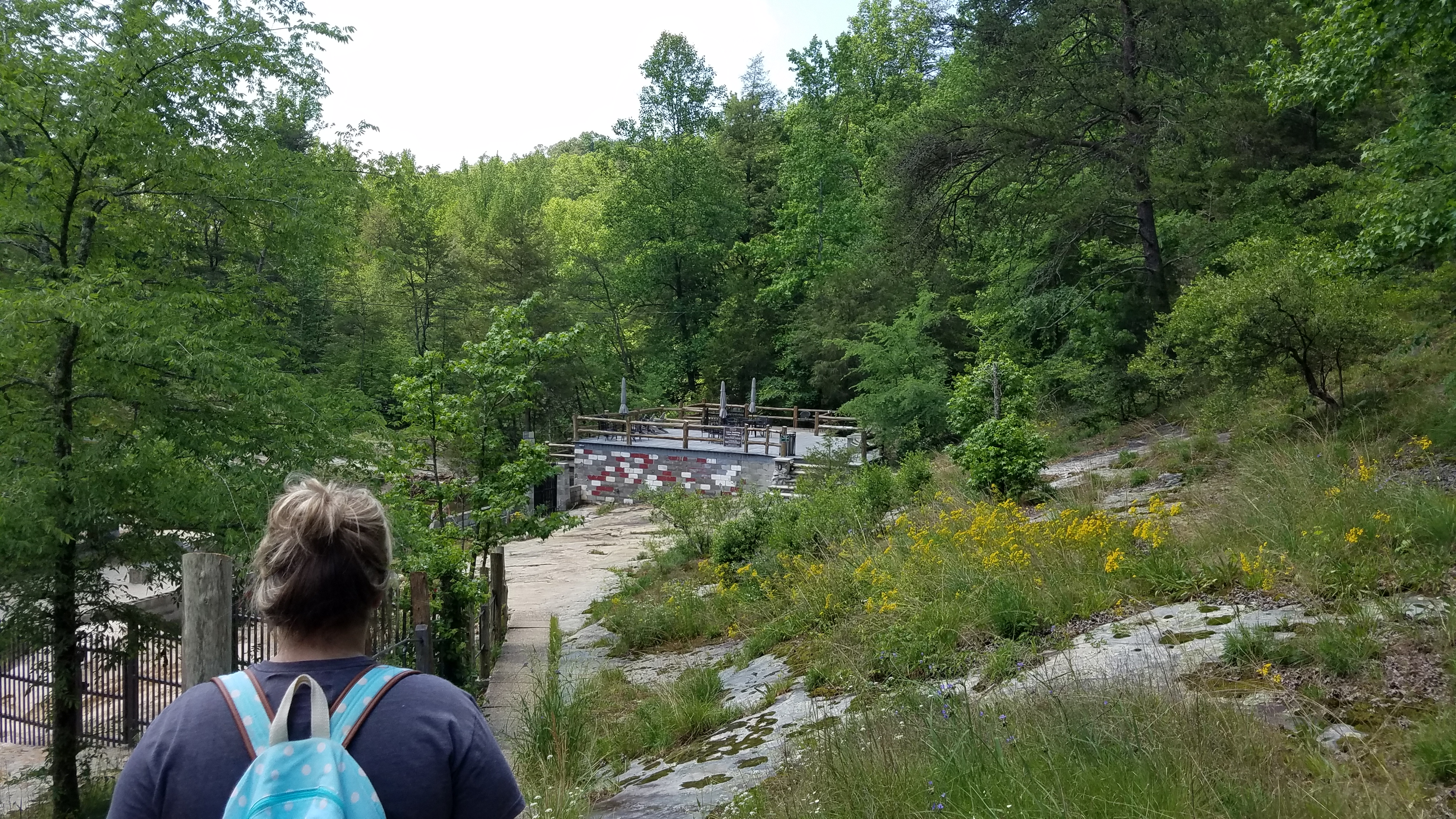
 This place is cool, literally. When you walk down the steps into the canyon the temperature drops at least 20 degrees. This place has everything for everyone. It's an easy hike, their website says 1.5 miles but it didn't seem like it to us. Just visit their website and make plans to go visit. 
  • Click to enlarge image 2018-05-19-11.18.01.jpg
  • Click to enlarge image 2018-05-19-11.27.34.jpg
  • Click to enlarge image 2018-05-19-11.28.19.jpg
  • Click to enlarge image 2018-05-19-11.28.23.jpg
  • Click to enlarge image 2018-05-19-11.32.23.jpg
  • Click to enlarge image 2018-05-19-11.33.42.jpg
  • Click to enlarge image 2018-05-19-11.37.43.jpg
  • Click to enlarge image 2018-05-19-11.37.50.jpg
  • Click to enlarge image 2018-05-19-11.54.26.jpg
  • Click to enlarge image 2018-05-19-11.57.23.jpg
  • Click to enlarge image 2018-05-19-11.57.29.jpg
  • Click to enlarge image 2018-05-19-12.06.38.jpg
  • Click to enlarge image 2018-05-19-12.06.44.jpg
  • Click to enlarge image 2018-05-19-12.25.36.jpg
  • Click to enlarge image 2018-05-19-12.25.45.jpg
  • Click to enlarge image 2018-05-19-12.30.58.jpg
  • Click to enlarge image 2018-05-19-12.31.09.jpg
  •  

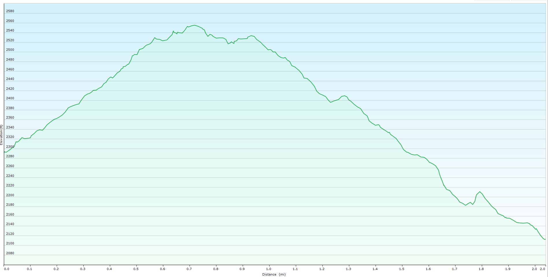
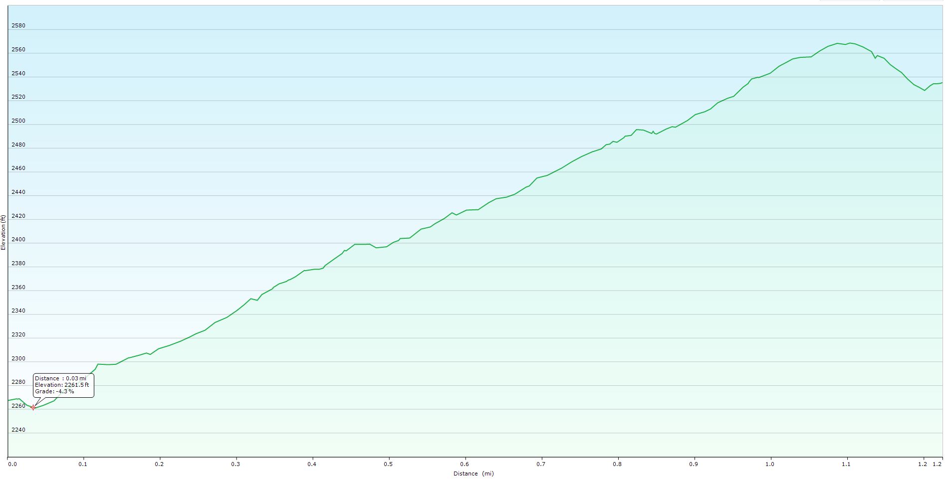
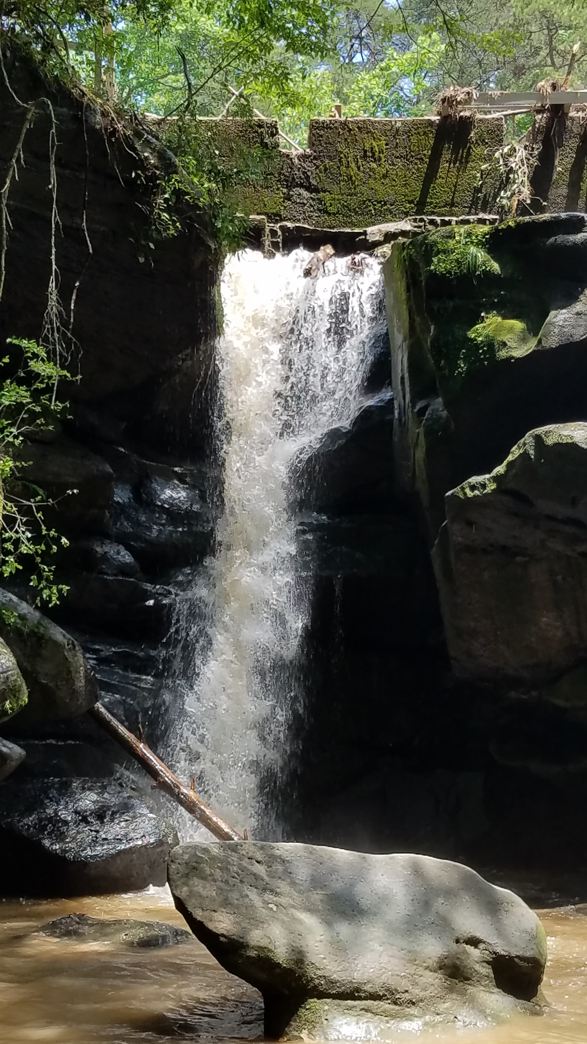
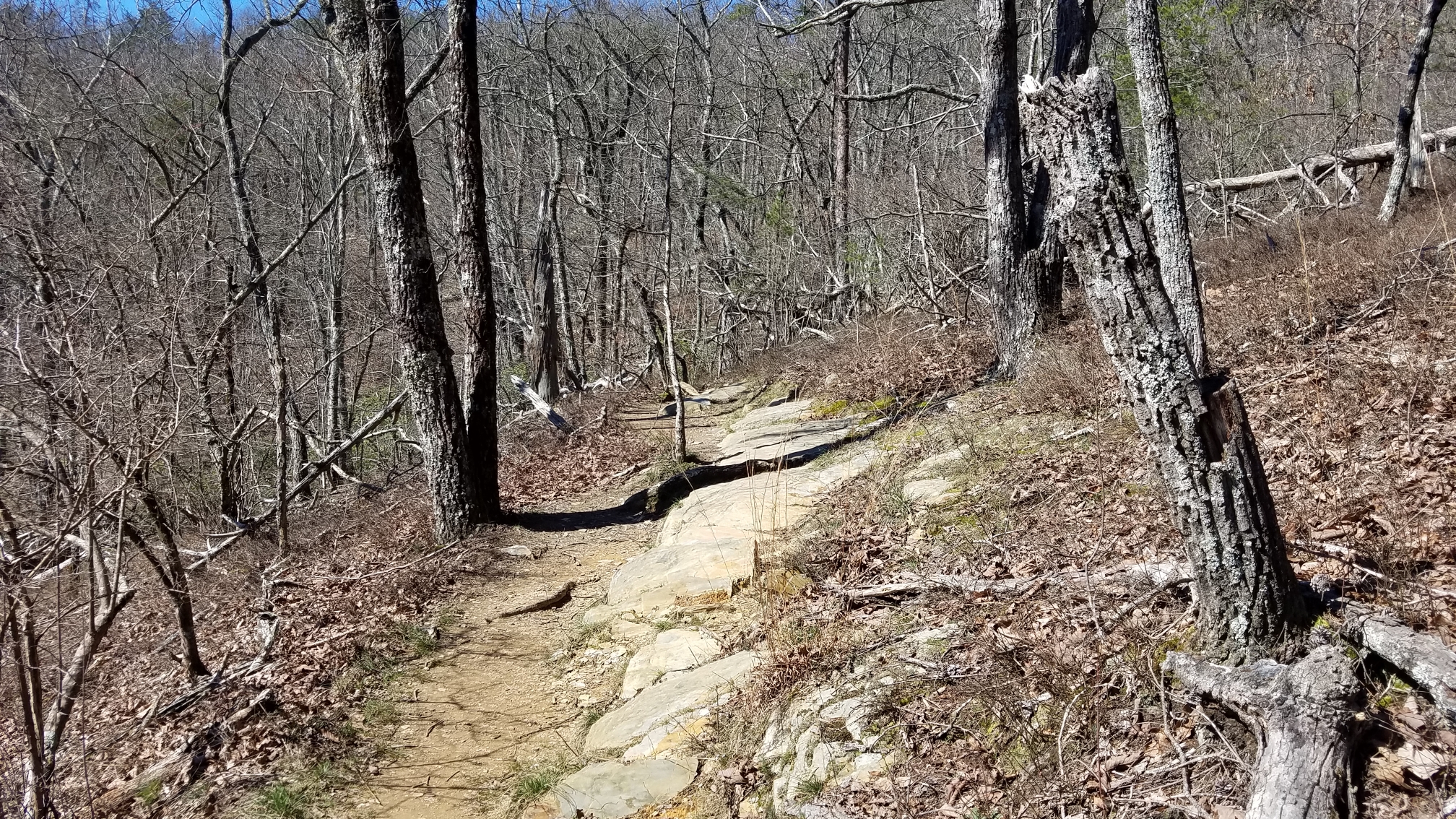
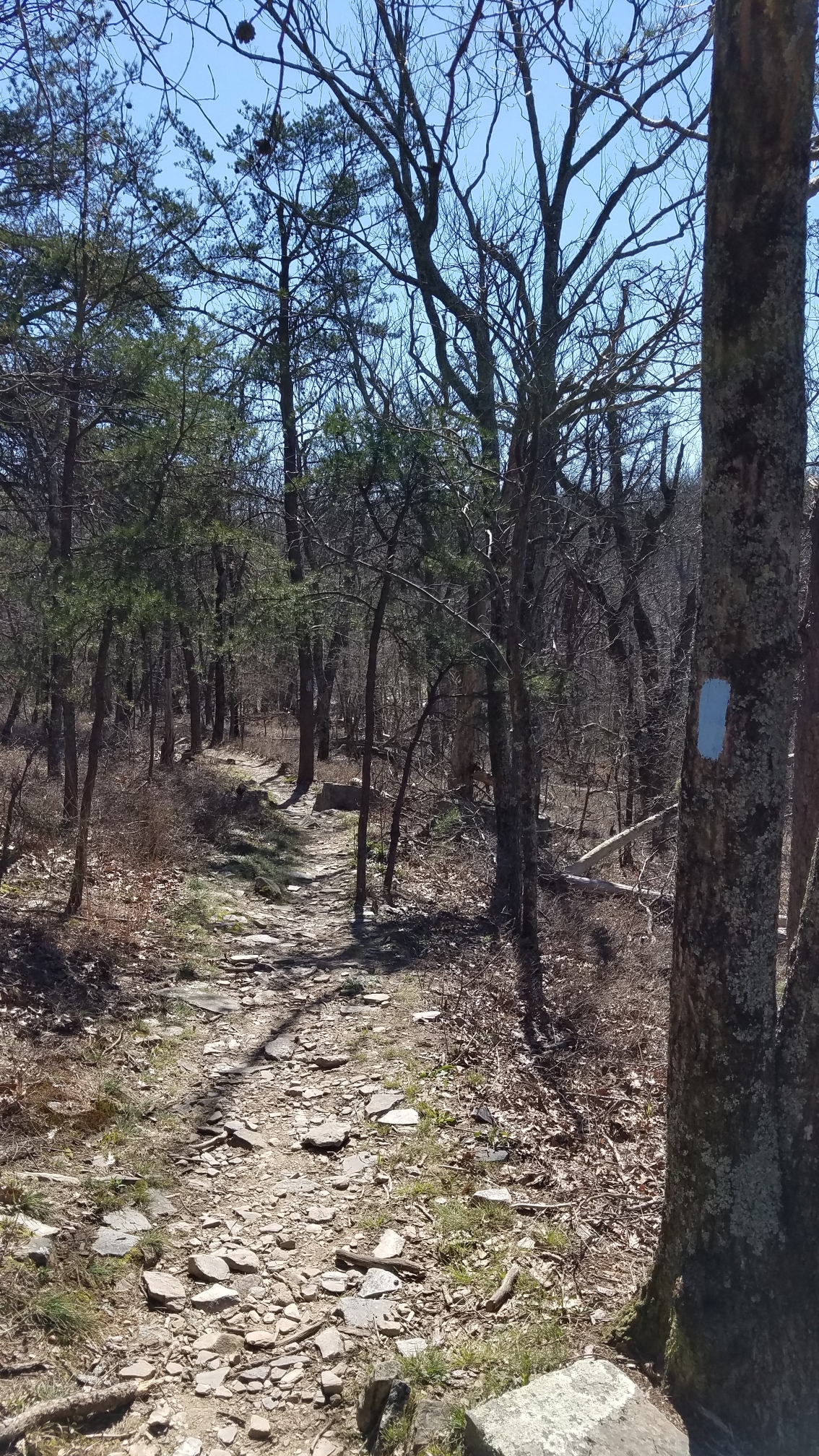
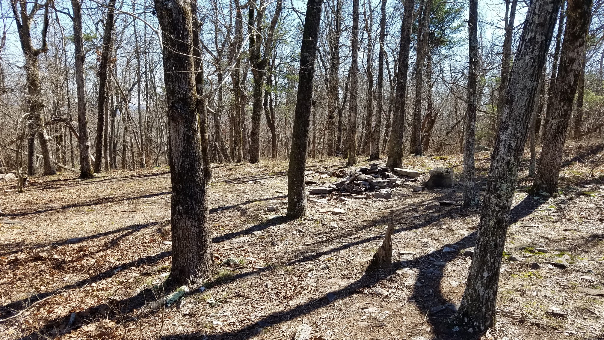
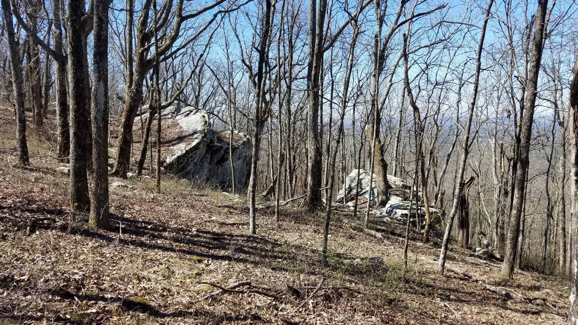
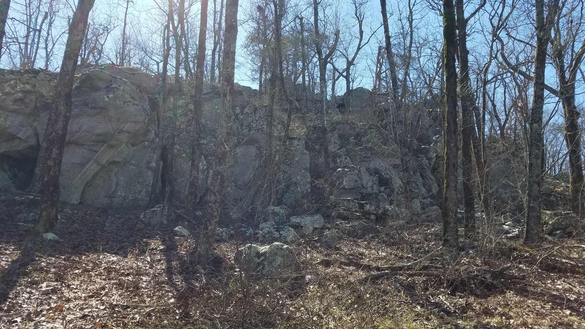
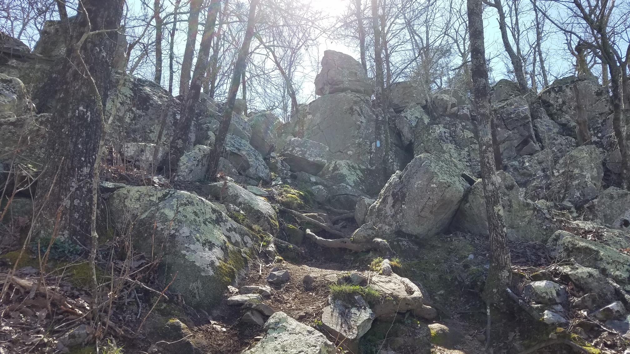
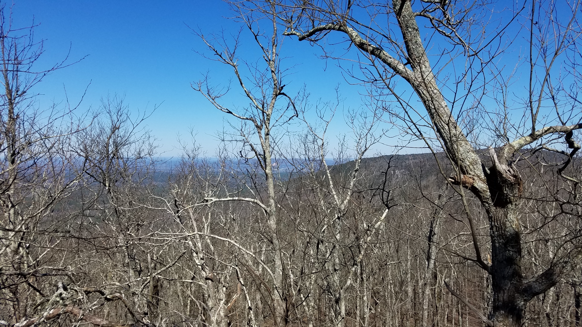
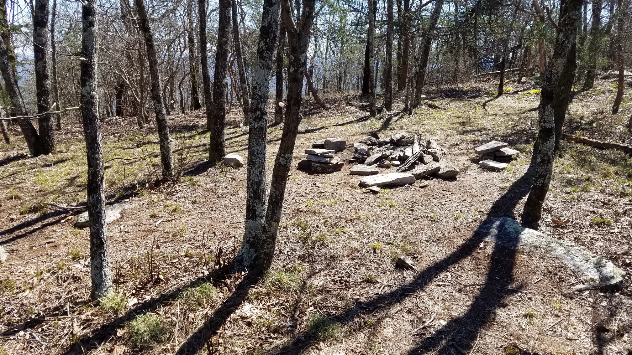
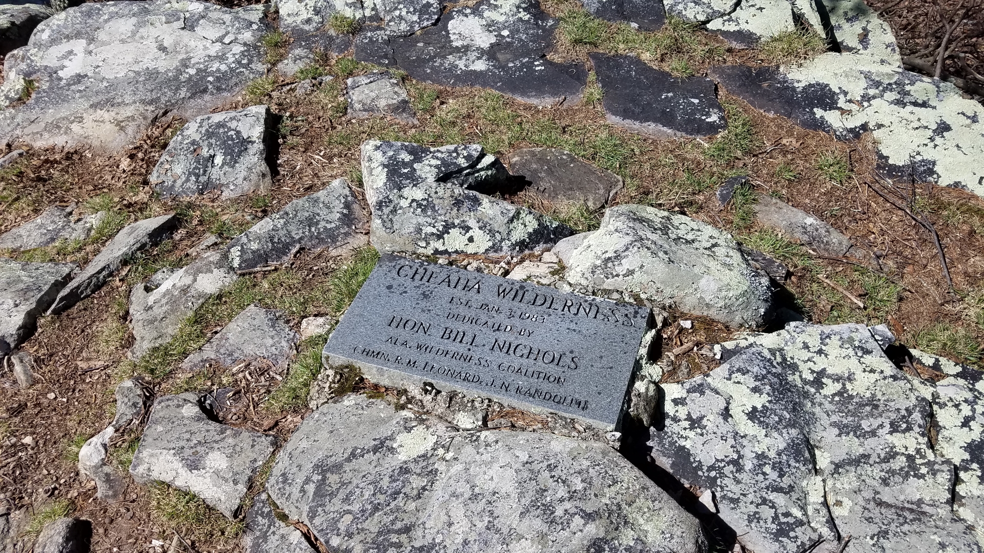
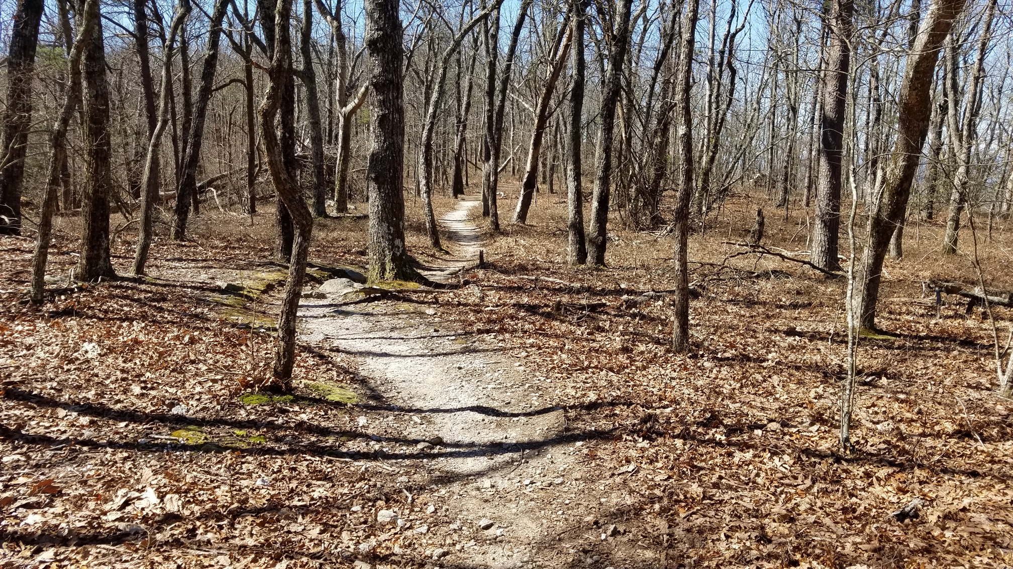
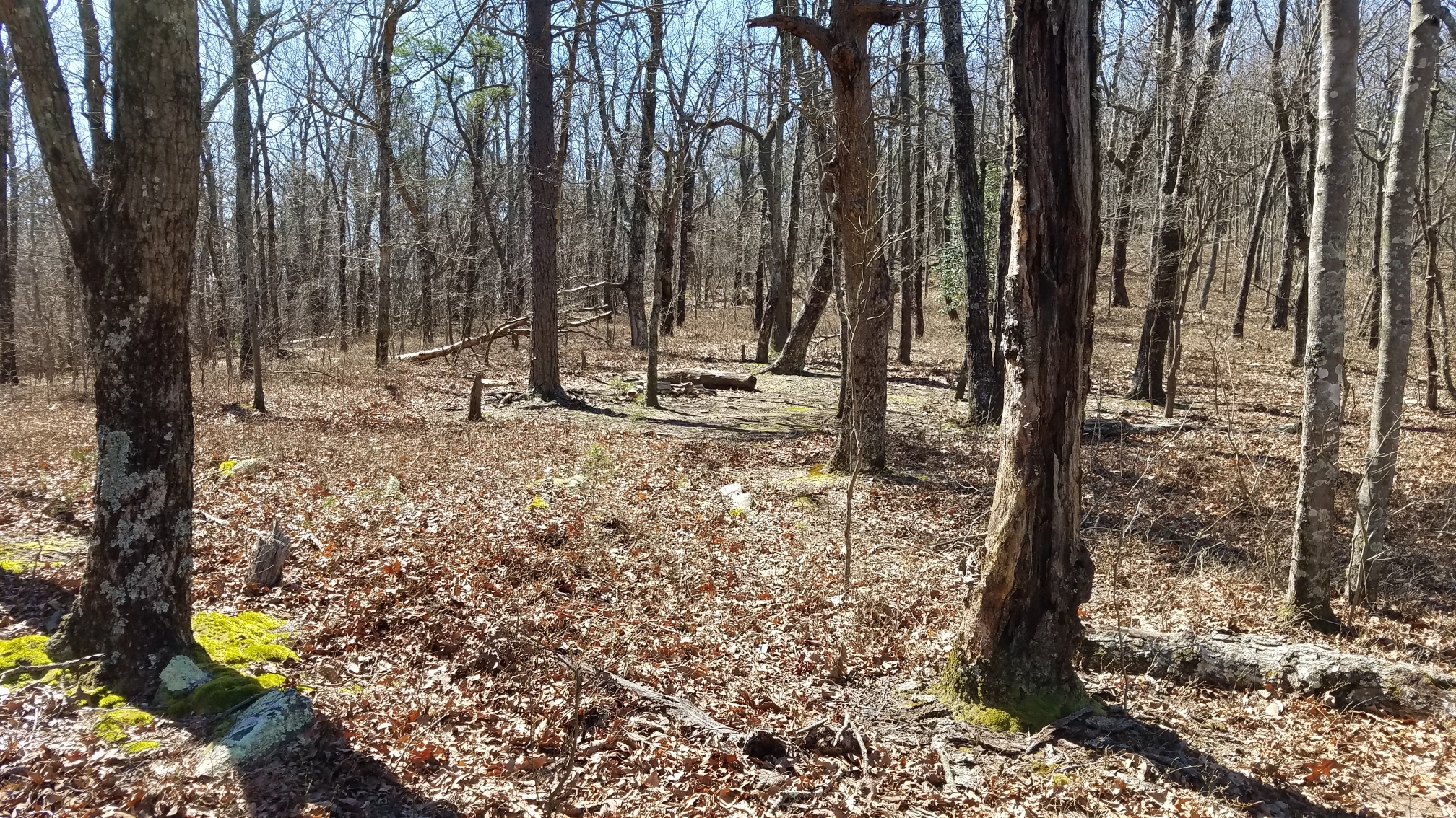
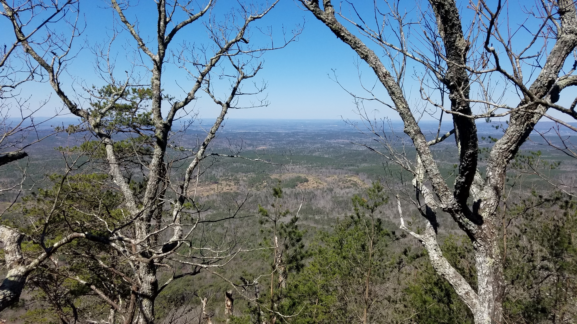
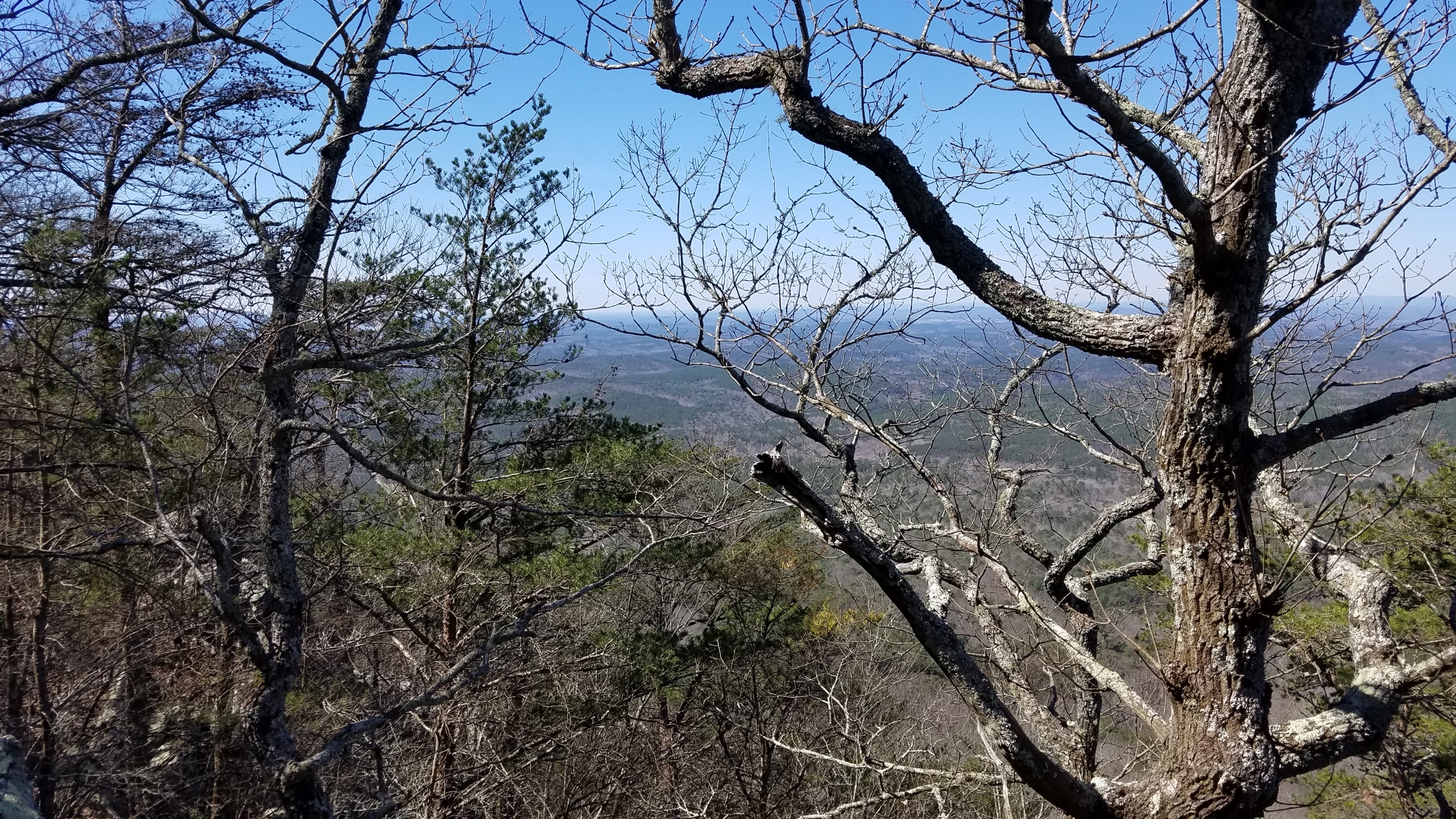
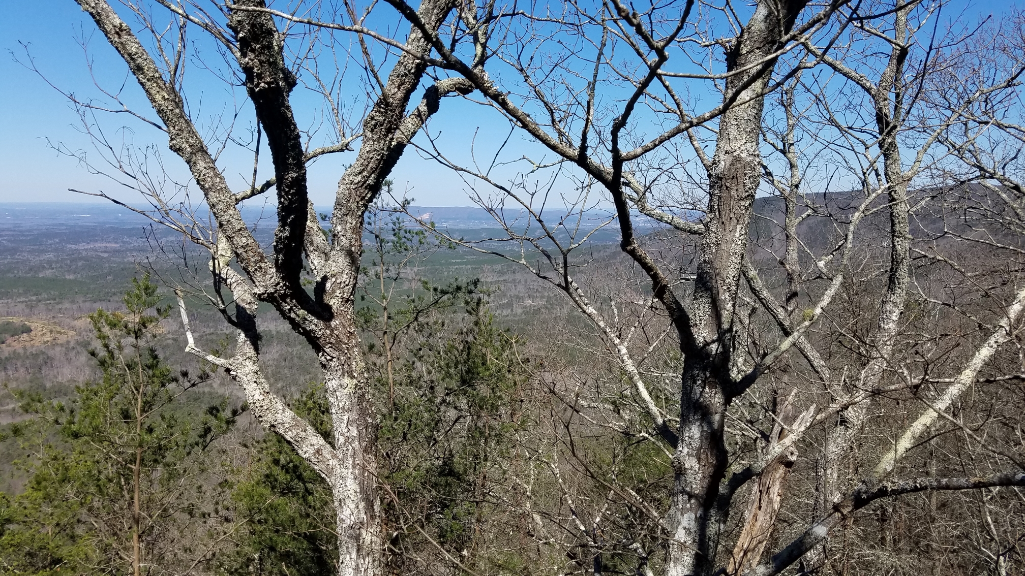
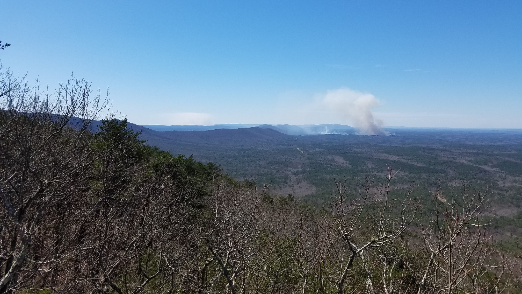
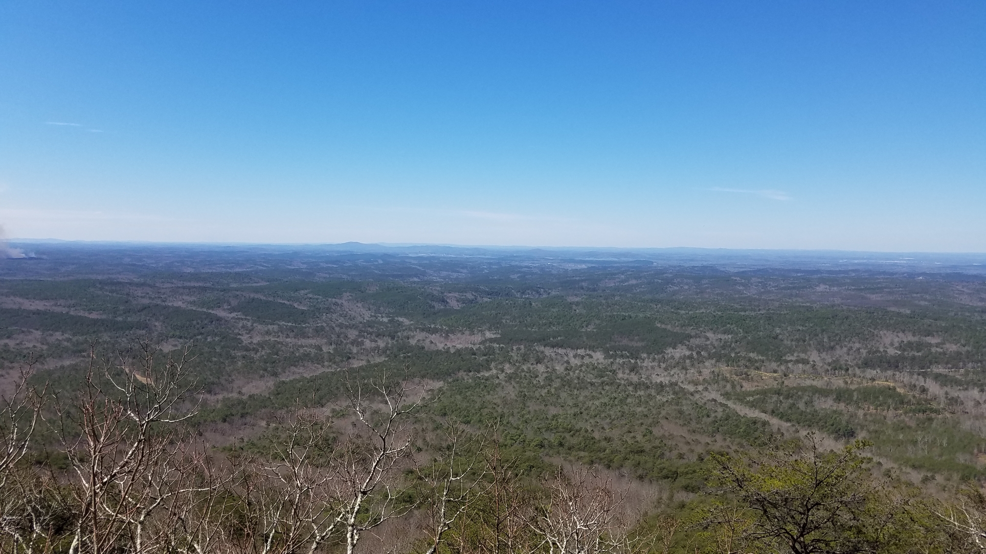
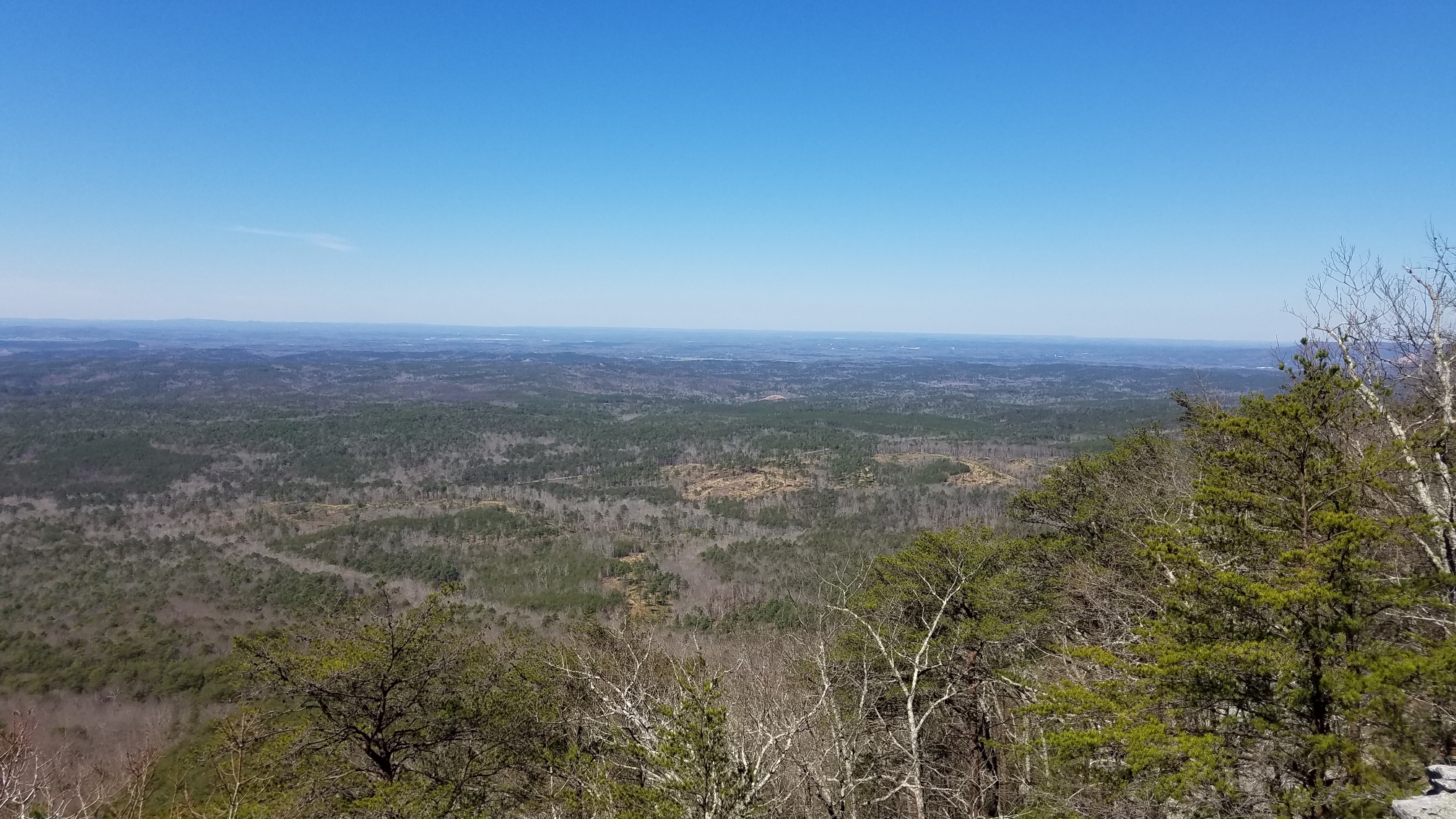
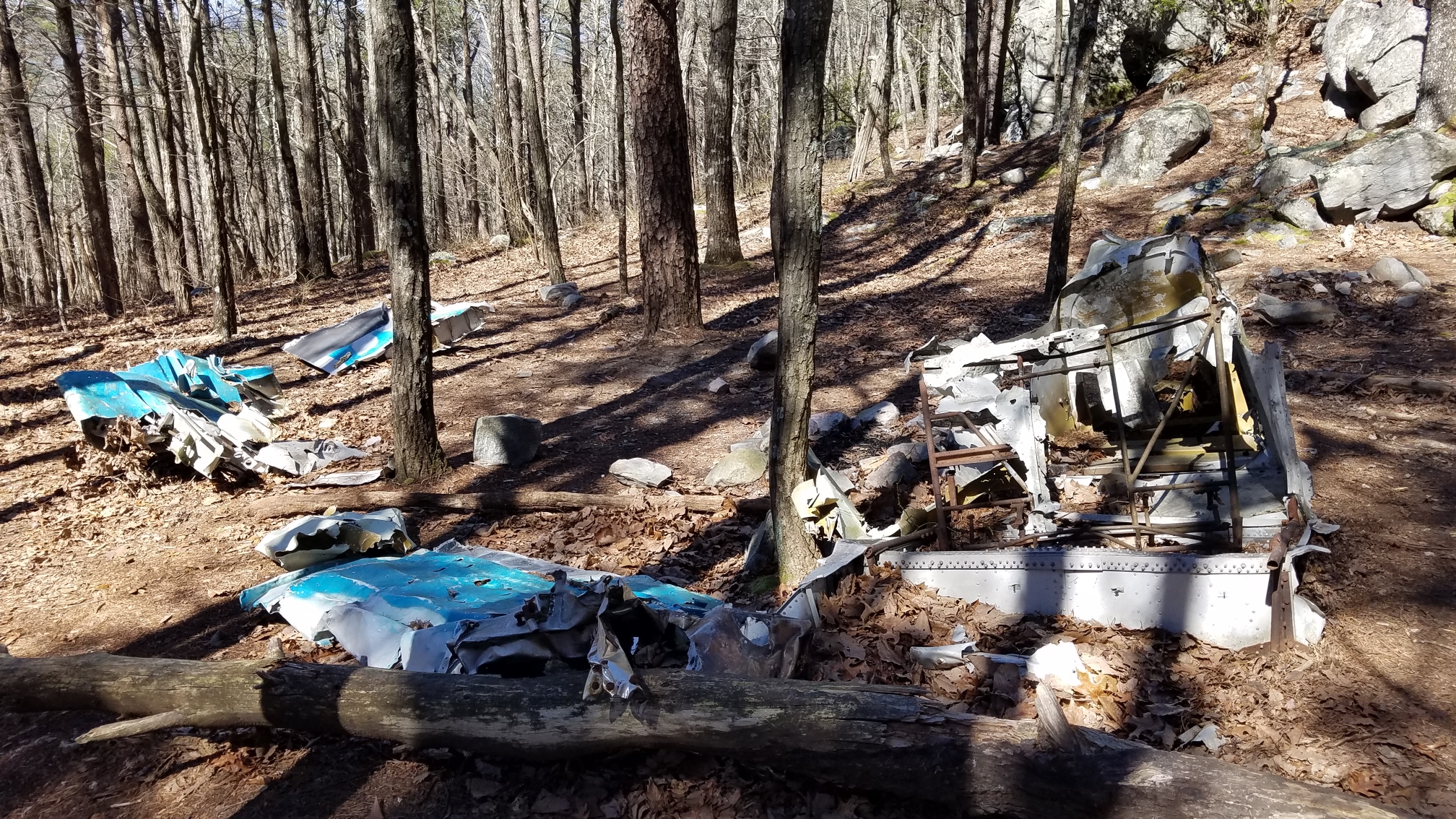
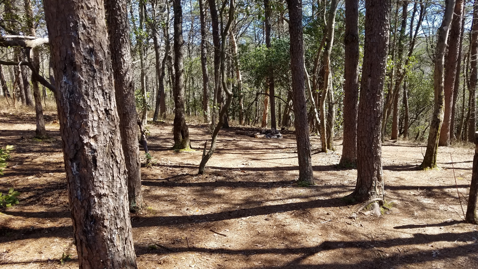
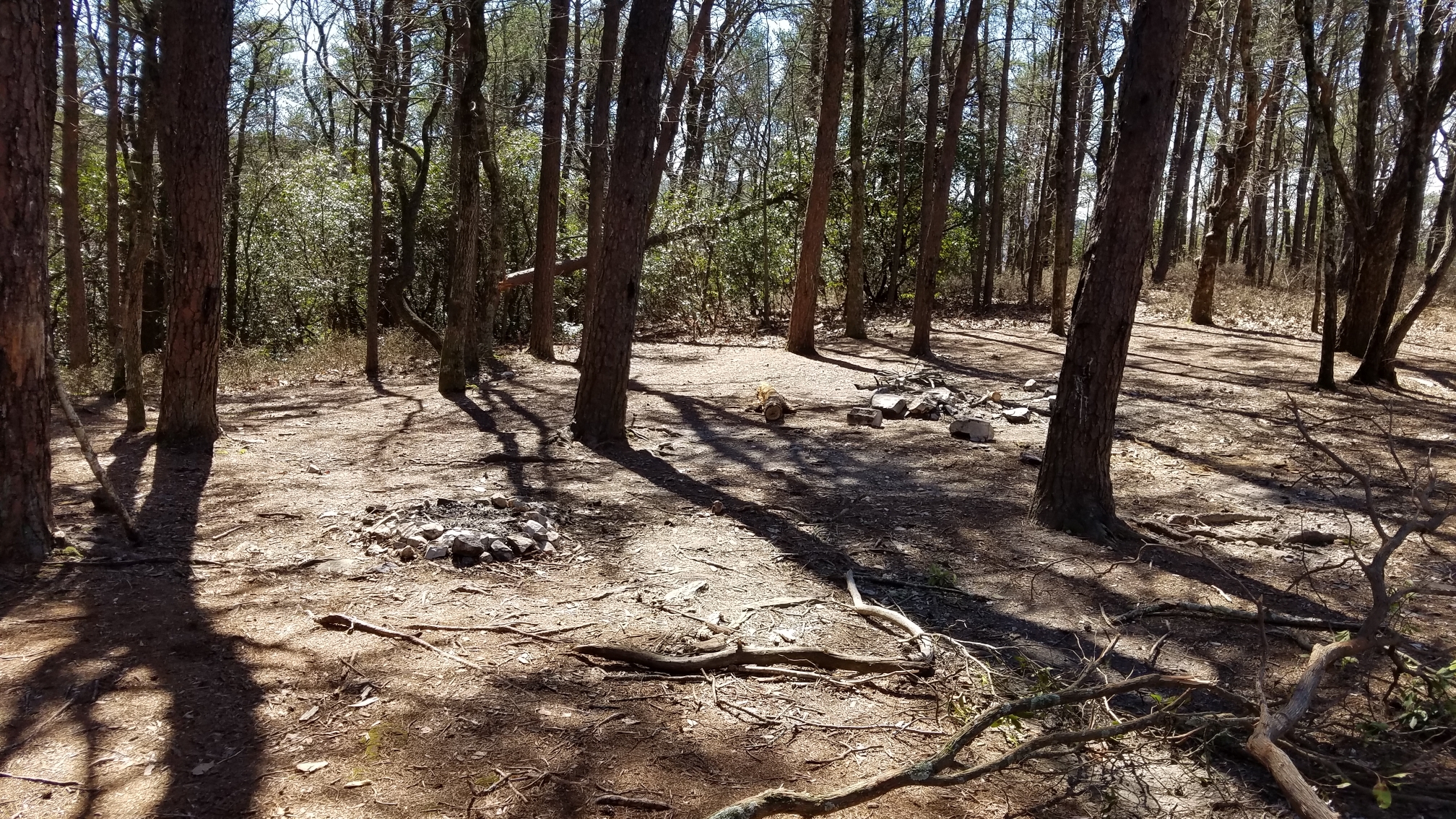
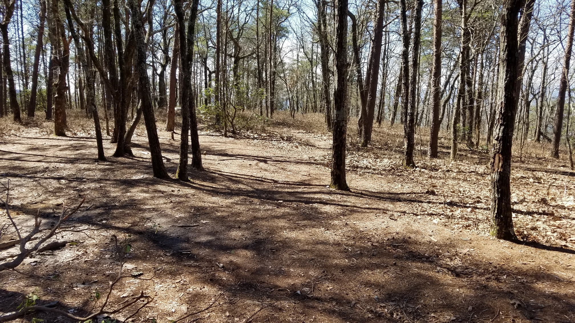
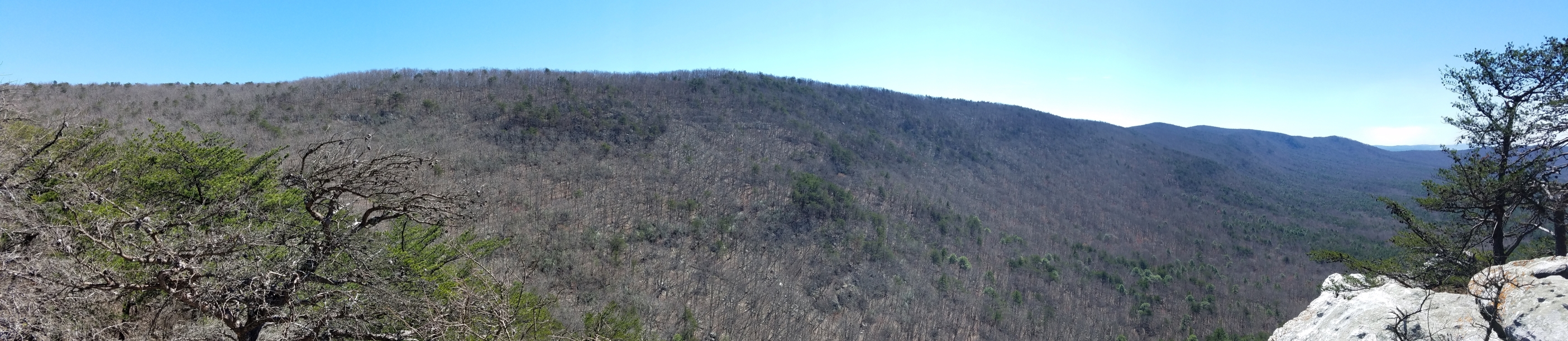
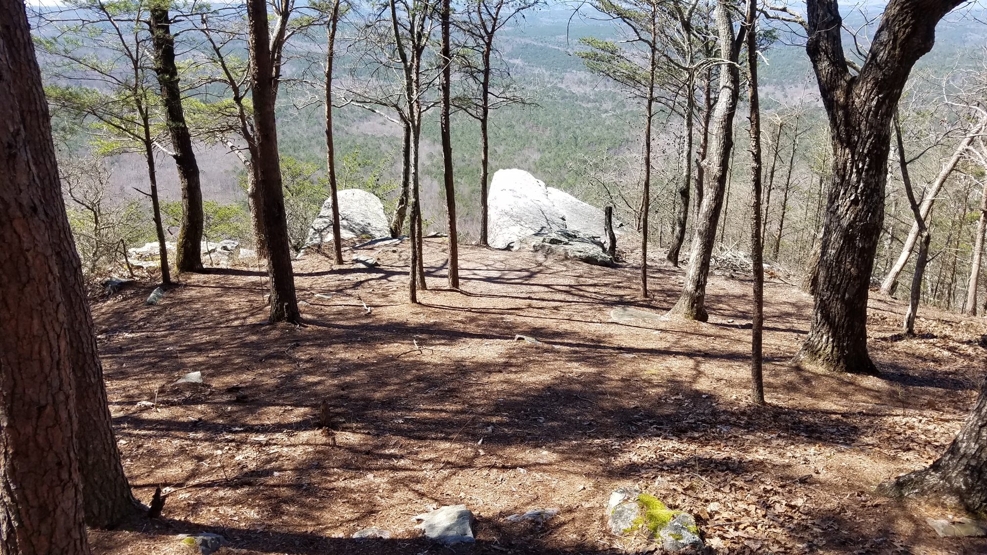
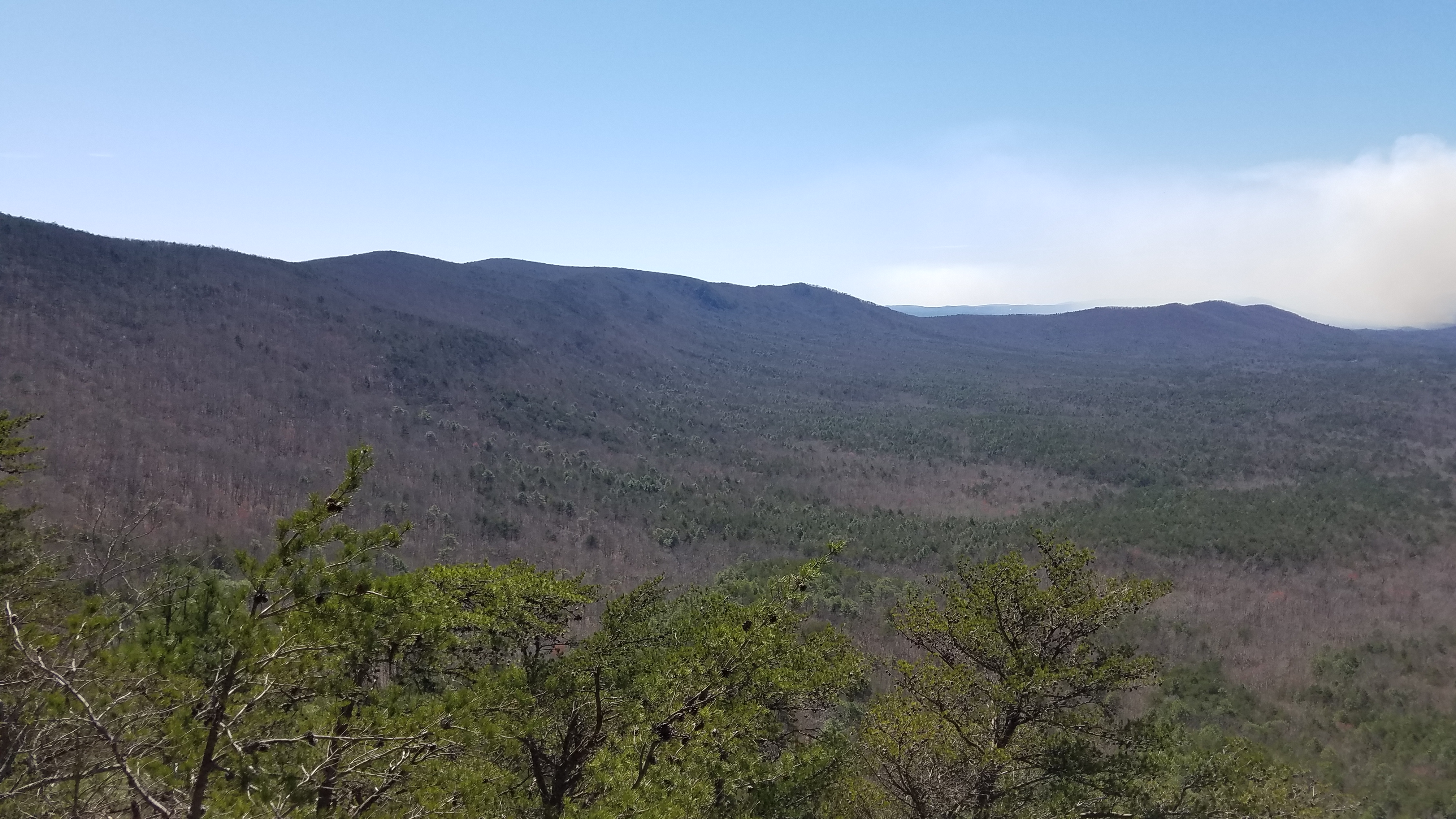
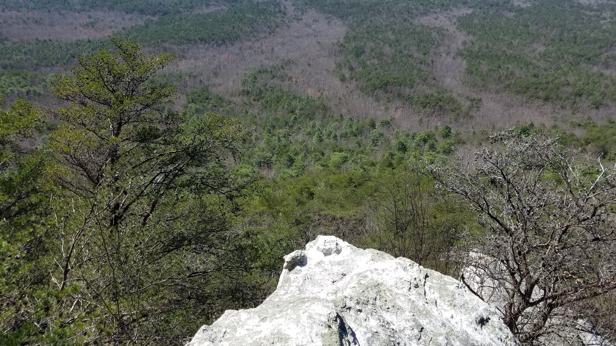
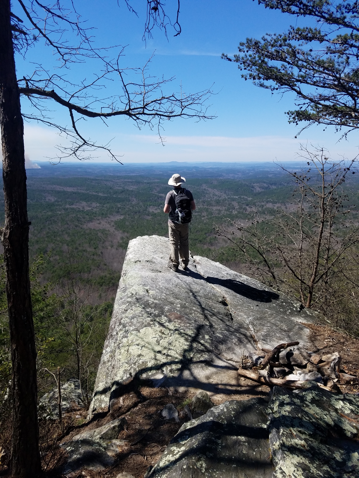
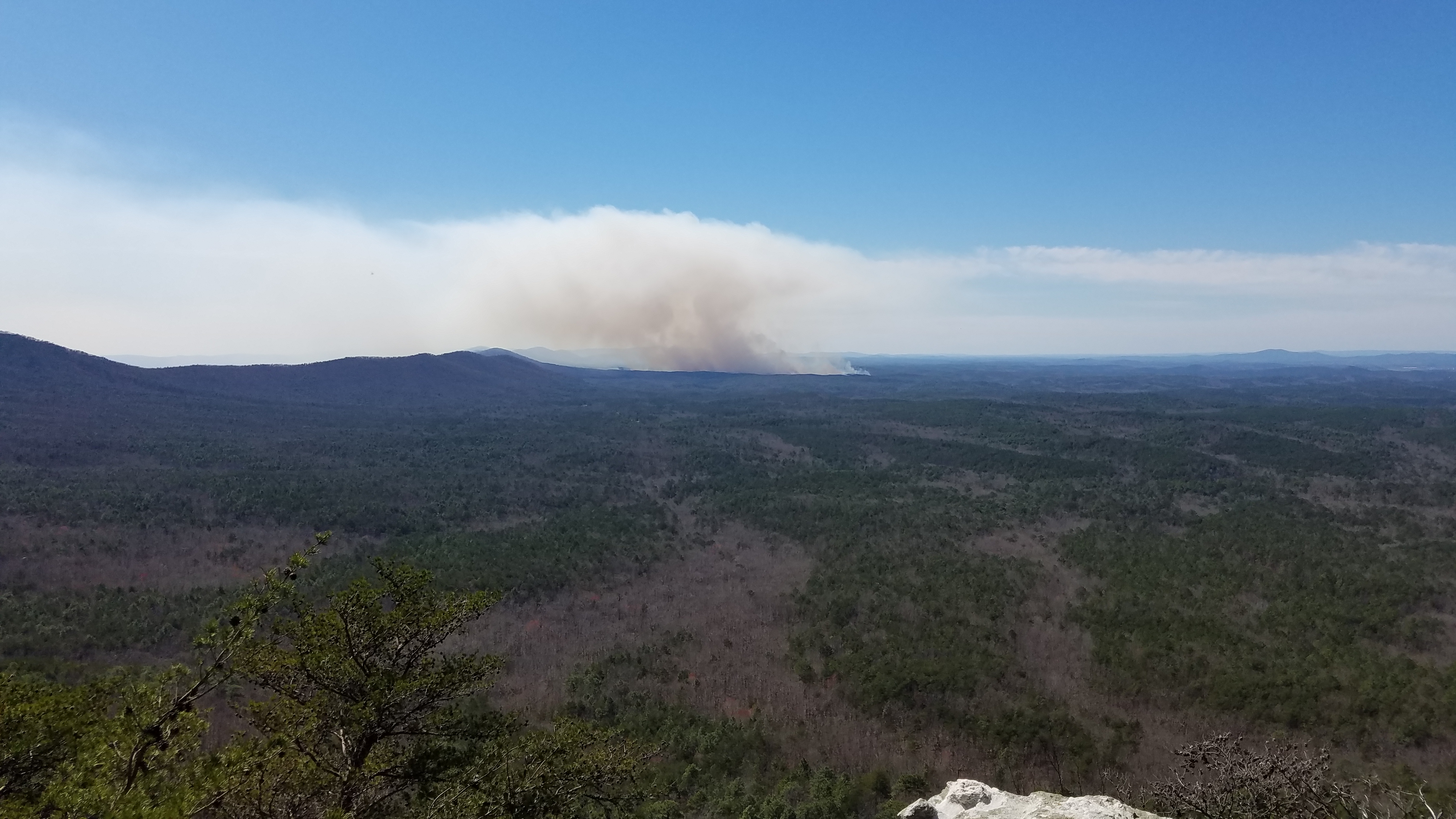
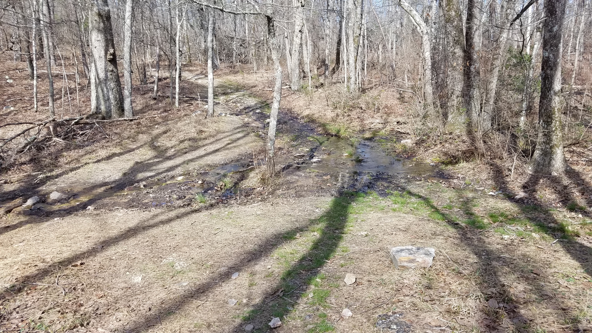
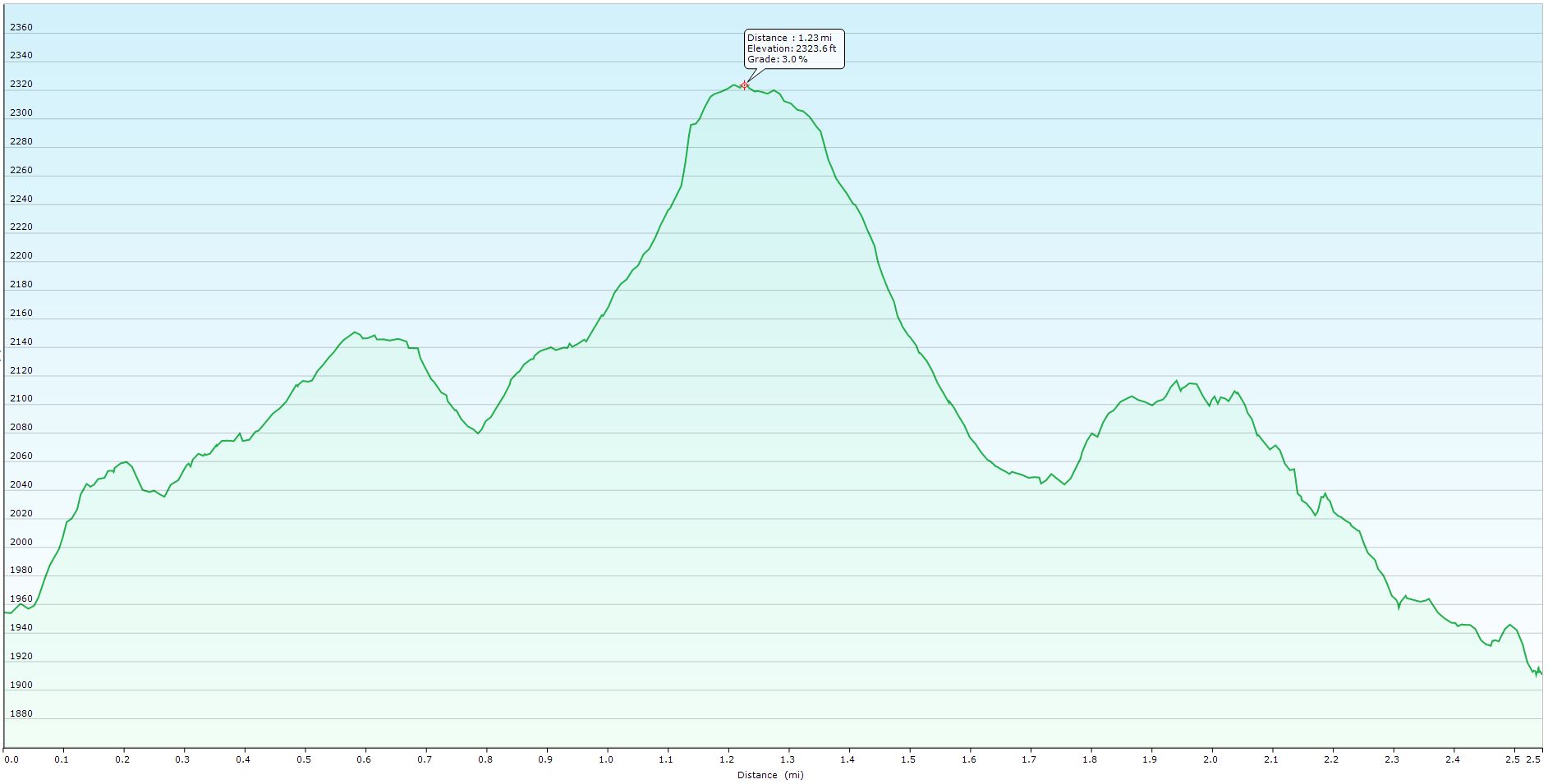
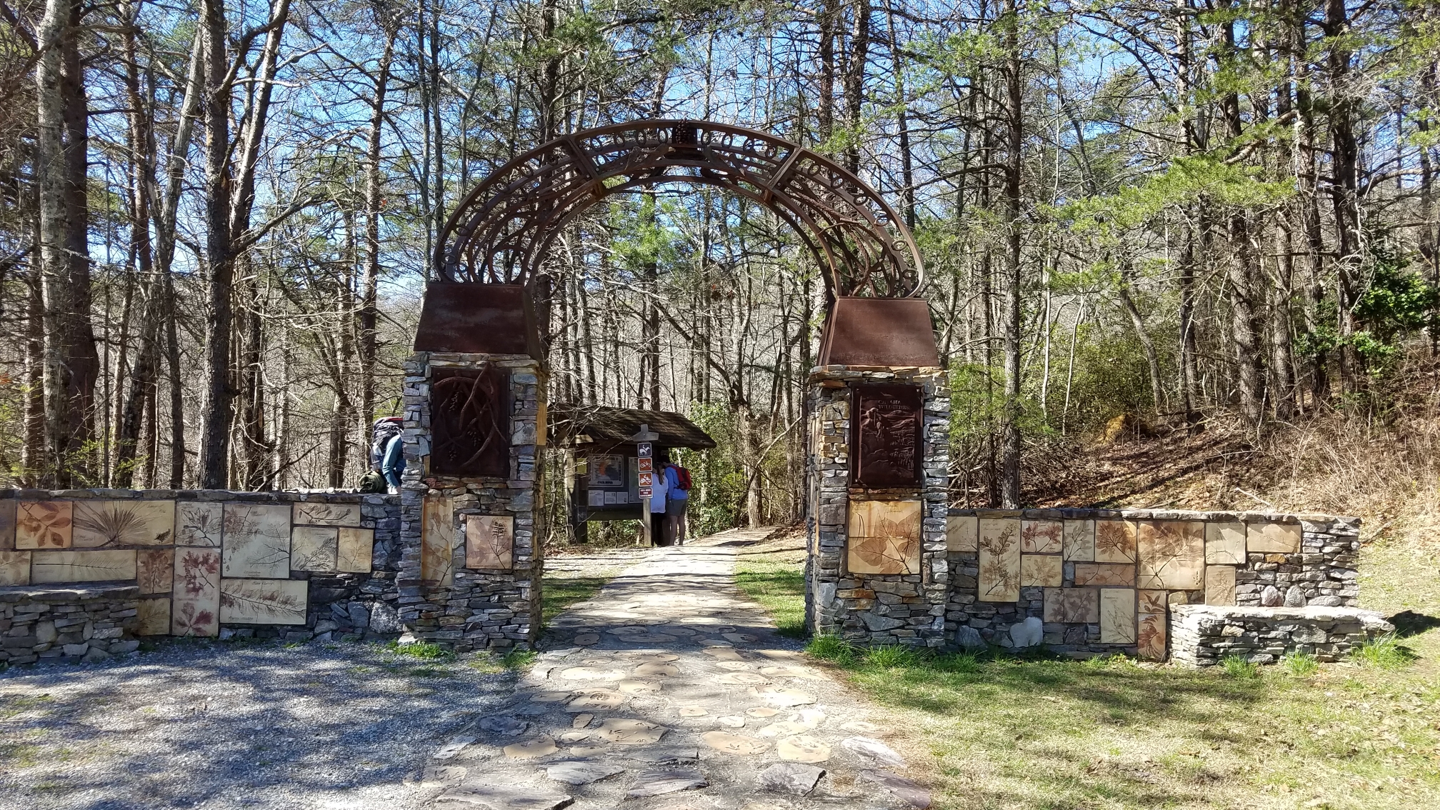
McDill Point is located in the Cheaha Wilderness in Talladega National Forest. There are many campsites along this trail, and it's known for its scenic views. Most people hike out and camp for the night, but it's not too far to make a day hike out of it. It's also part of a loop which I would like to do next time. As you can see from the elevation plot there are a few steep climbs. If you take your time and take breaks you can get through it. 
  • Click to enlarge image 2018-03-04-10.11.05.jpg
  • Click to enlarge image 2018-03-04-10.19.09.jpg
  • Click to enlarge image 2018-03-04-10.34.28.jpg
  • Click to enlarge image 2018-03-04-10.39.34.jpg
  • Click to enlarge image 2018-03-04-10.41.48.jpg
  • Click to enlarge image 2018-03-04-10.46.32.jpg
  • Click to enlarge image 2018-03-04-10.47.36.jpg
  • Click to enlarge image 2018-03-04-10.48.55.jpg
  • Click to enlarge image 2018-03-04-10.54.37.jpg
  • Click to enlarge image 2018-03-04-10.58.19.jpg
  • Click to enlarge image 2018-03-04-11.07.58.jpg
  • Click to enlarge image 2018-03-04-11.10.36.jpg
  • Click to enlarge image 2018-03-04-11.18.01.jpg
  • Click to enlarge image 2018-03-04-11.18.04.jpg
  • Click to enlarge image 2018-03-04-11.18.11.jpg
  • Click to enlarge image 2018-03-04-11.26.19.jpg
  • Click to enlarge image 2018-03-04-11.26.21.jpg
  • Click to enlarge image 2018-03-04-11.26.23.jpg
  • Click to enlarge image 2018-03-04-11.27.12.jpg
  • Click to enlarge image 2018-03-04-11.44.08.jpg
  • Click to enlarge image 2018-03-04-11.49.04.jpg
  • Click to enlarge image 2018-03-04-11.49.18.jpg
  • Click to enlarge image 2018-03-04-11.52.40.jpg
  • Click to enlarge image 2018-03-04-11.52.43.jpg
  • Click to enlarge image 2018-03-04-11.52.47.jpg
  • Click to enlarge image 2018-03-04-11.55.08.jpg
  • Click to enlarge image 2018-03-04-11.58.43.jpg
  • Click to enlarge image 2018-03-04-11.59.14.jpg
  • Click to enlarge image 2018-03-04-11.59.20.jpg
  • Click to enlarge image 2018-03-04-11.59.37.jpg
  • Click to enlarge image 2018-03-04-12.24.24.jpg
  • Click to enlarge image 2018-03-04-14.01.32.jpg
  • Click to enlarge image data1.JPG
  • Click to enlarge image data2.JPG
  •  

  1. Grotto Falls Trail
  2. Alum Cave Trail
  3. Pinhoti Section 11
  4. Pinhoti Section 8

Page 1 of 2

  • 1
  • 2
Brian's WX · KJ4TDM · Blount County, Alabama
YouTubeInstagram