Brian's WX
KJ4TDM
  • Home
  • Amateur Radio
    • Shack Pictures
    • Solar Powered Digipeater
  • Projects
    • Antenna Projects
    • Weather Balloon Tracking & Recovering
    • Weather Satellite Images
    • Photography
    • 2014 UAH Student Balloons
    • Student Balloon Launch 6-11-16
    • Backpacking
    • Meshtastic
    • GOES 16 Satellite RX Station
    • TinyGS Project
  • Live Scanner Feed
  • Links
  1. You are here:  
  2. Home
  3. Projects
  4. Weather Balloon Tracking & Recovering
  5. Balloon Flights

Max Altitude: 114,570ft.


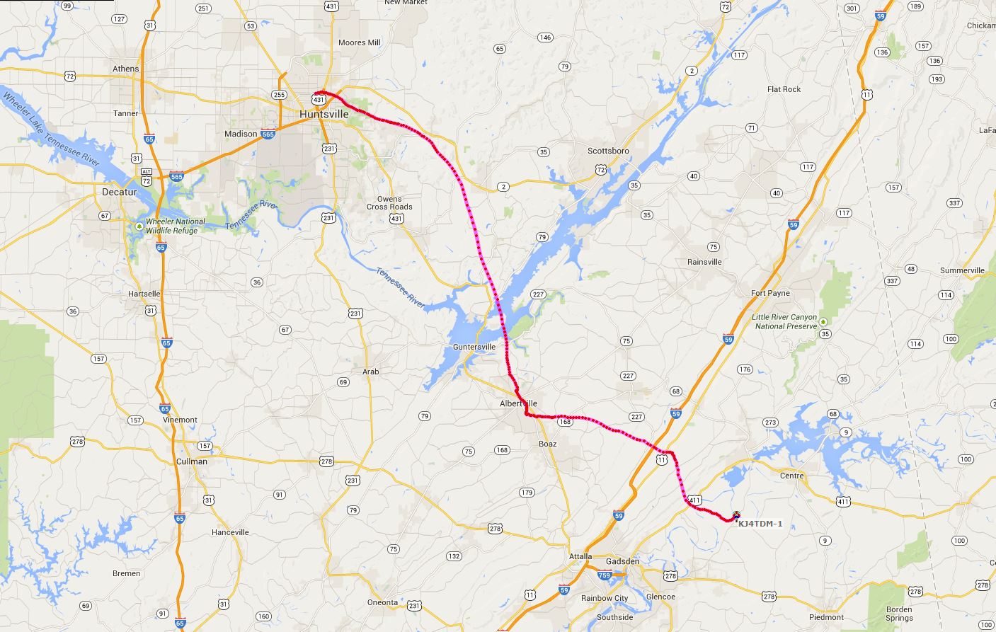
  • Click to enlarge image 2-14-15path.JPG
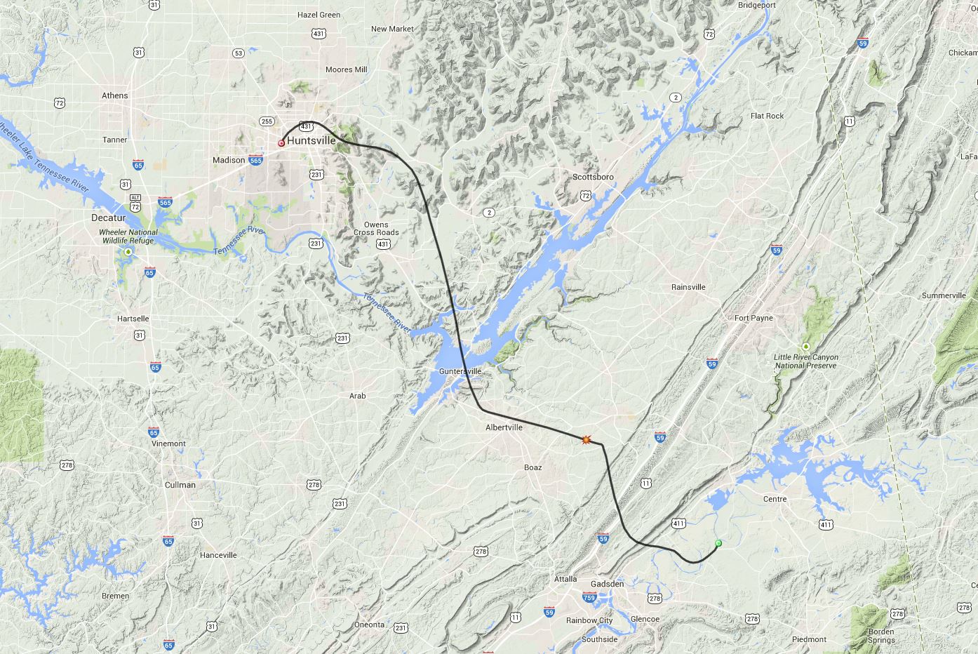
  • Click to enlarge image 2-14-15prediction.JPG
  •  

Max Altitude:

  • Click to enlarge image 2-7-15path.JPG
  • Click to enlarge image 2-7-15pred.JPG
  •  

Max Altitude: 111,767ft


  • Click to enlarge image 1-31-15path.JPG
  • Click to enlarge image 1-31-15prediction.JPG
  •  

Max Altitude:112,227ft

  • Click to enlarge image 1-24-15path1.JPG
  • Click to enlarge image 1-24-15path2.JPG
  • Click to enlarge image 1-24-15prediction.JPG
  •  

12-27-14 Flight
12-20-14 Flight
12-13-14 Flight
12-6-14 Flight
11-29-14 Flight
11-22-14 Flight
11-15-14 Flight
Did not track on 11-8-14
11-1-14 Flight
10-25-14 Flight
10-18-14 Flight
10-11-14 Flight
10-4-14 Flight
9-27-14 flight
9-20-14 Flight
9-13-14 Flight
9-6-14 Flight
8-30-14 Flight
8-23-14 Flight
8-16-14 Flight
8-9-14 Flight
8-2-14 Flight
7-5-14 Flight
7-26-14 Flight
7-19-14 Flight
7-12-14 Flight
  1. 1-17-15 Flight
  2. 1-10-15 Flight
  3. 1-3-15 Flight
  4. 12-27-14 Flight

Page 11 of 14

  • 5
  • 6
  • 7
  • 8
  • 9
  • 10
  • 11
  • 12
  • 13
  • 14
Brian's WX · KJ4TDM · Blount County, Alabama
YouTubeInstagram