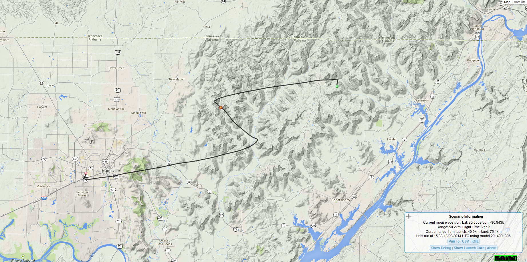
Reminder that they launch the balloons around 1:00 PM Central (18:00 UTC) every other Saturday. I'm about 40 miles south of the launch site so I don't start decoding the packets until they're around 6,000ft above the ground. In the wintertime, the upper-level winds carry them to the east a good bit. They will more than likely land somewhere around central Georgia, east Tenn. In the wintertime I lose the signal around 20,000ft +/- on the descent. In the summertime they don't tend to stray very far from the launch site as you can tell from the past flights or the predictions for that day's flight. Visit this website to track live.
* As of June 2019 they have received some funding and are now flying payloads every other Saturday.
Max height was 98,693ft.
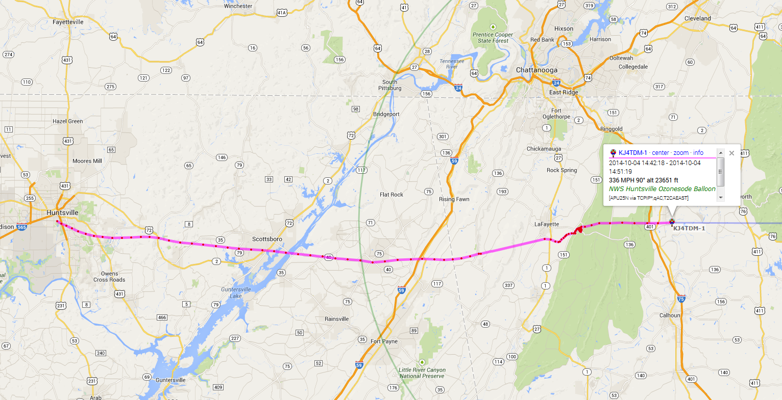
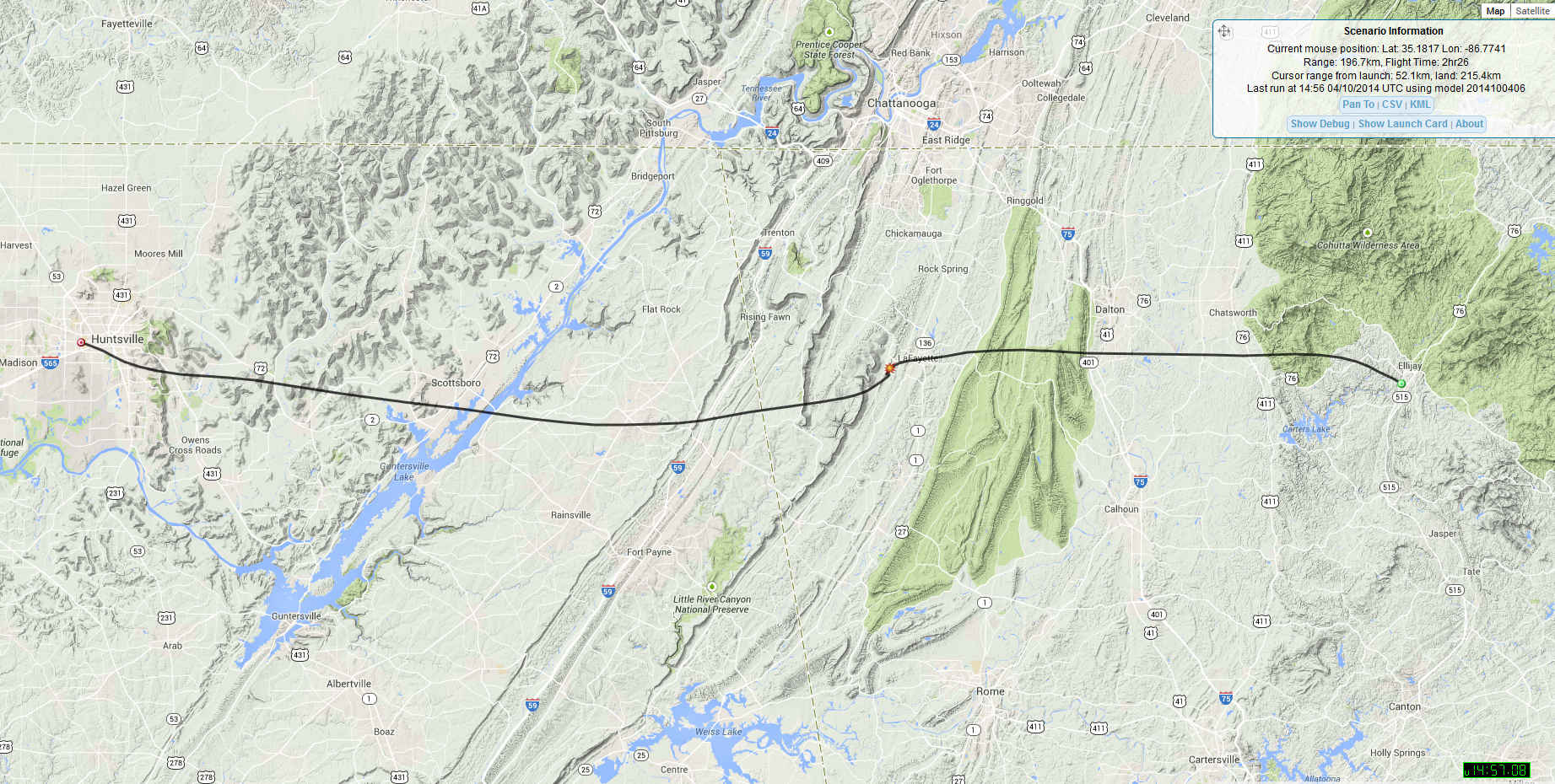
This flight's payload had a software issue. The payload was not programmed to work above 40,000ft, so we don't really know how high it went. But when it dropped below 40,000ft the payload started to transmit GPS data again. They don't know how many more payloads they have like this in storage lined up to fly next, so the next flight may be the same way!
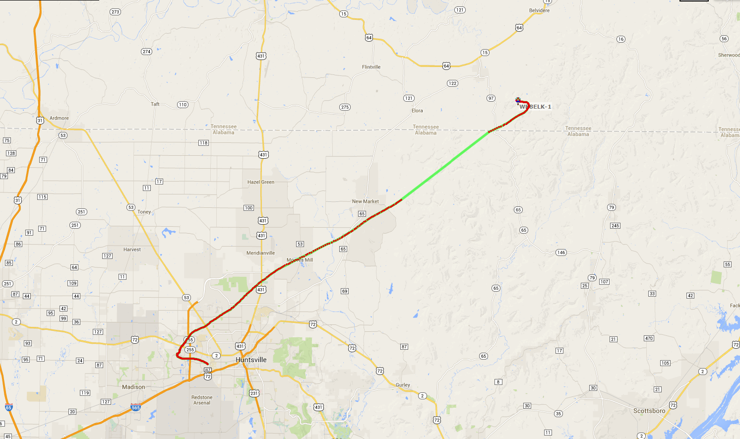
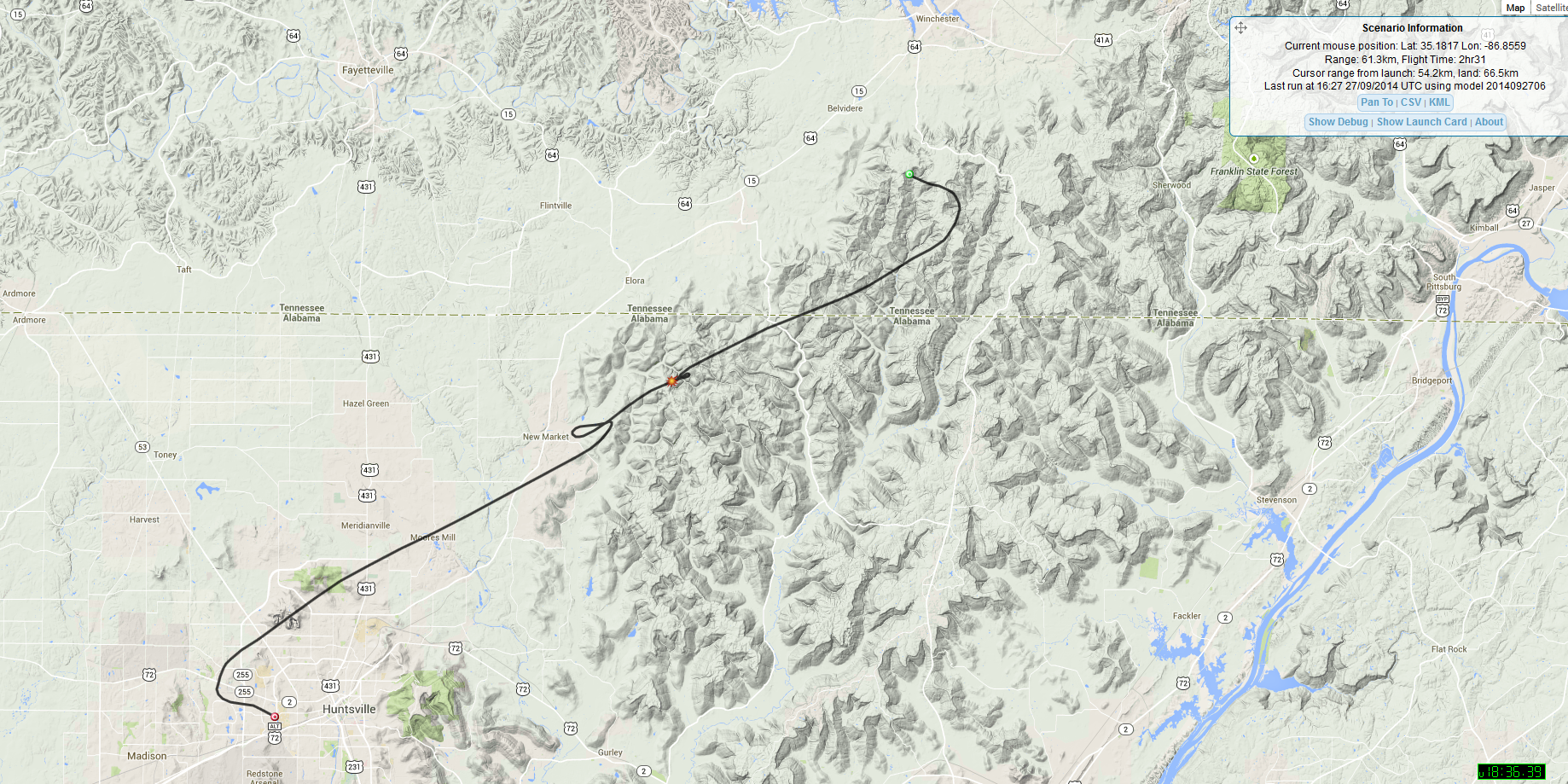
Max altitude was 97,391ft. Also on this flight was an APRS test payload from Bill Brown (WB8ELK). It was a 10mW 1oz payload.

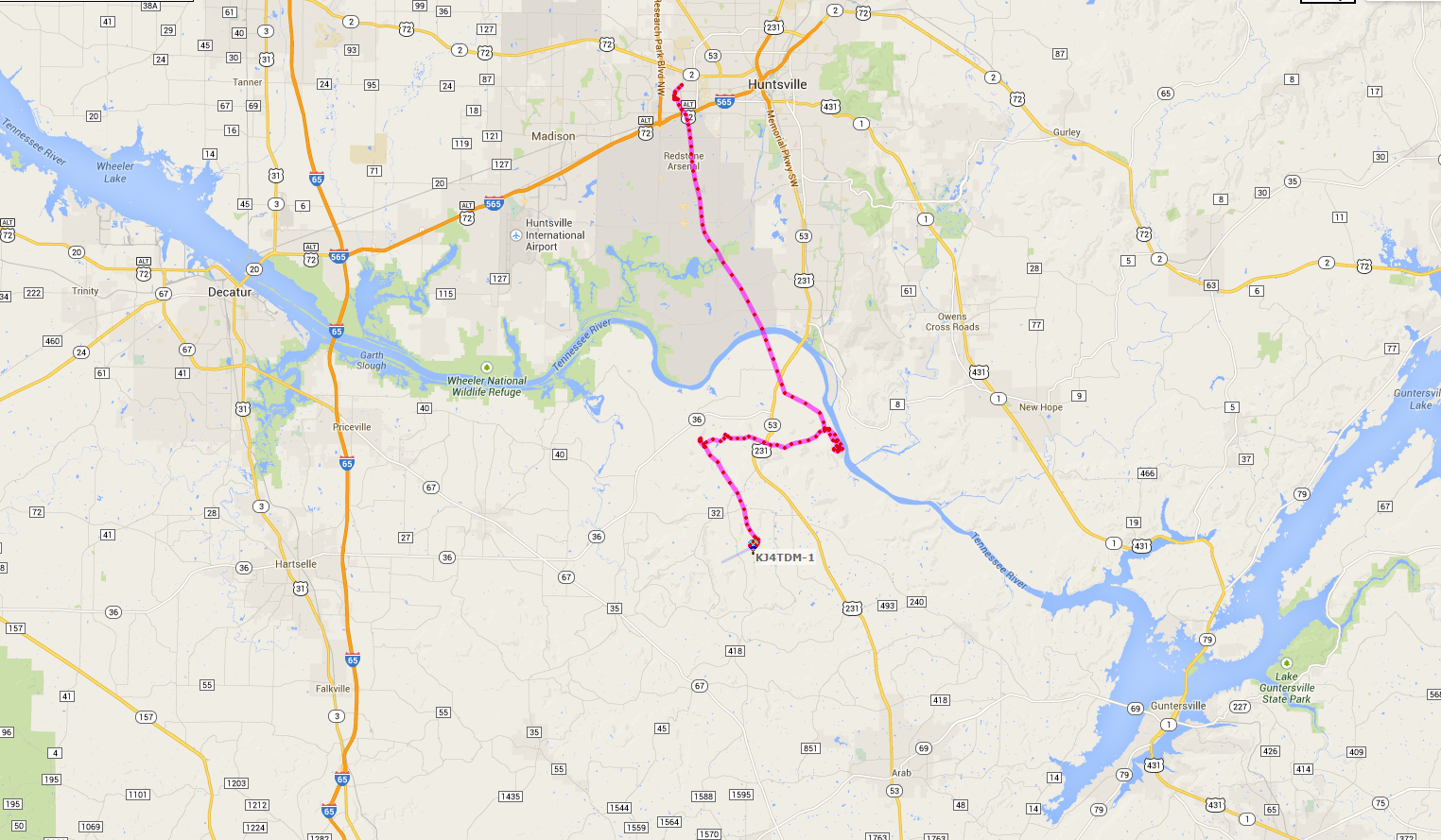
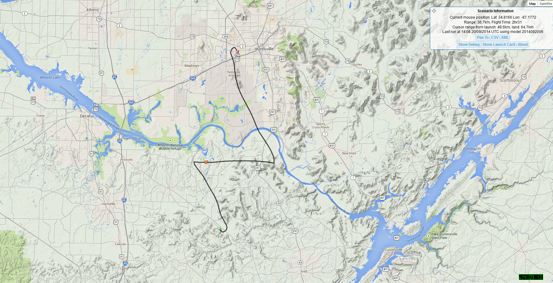
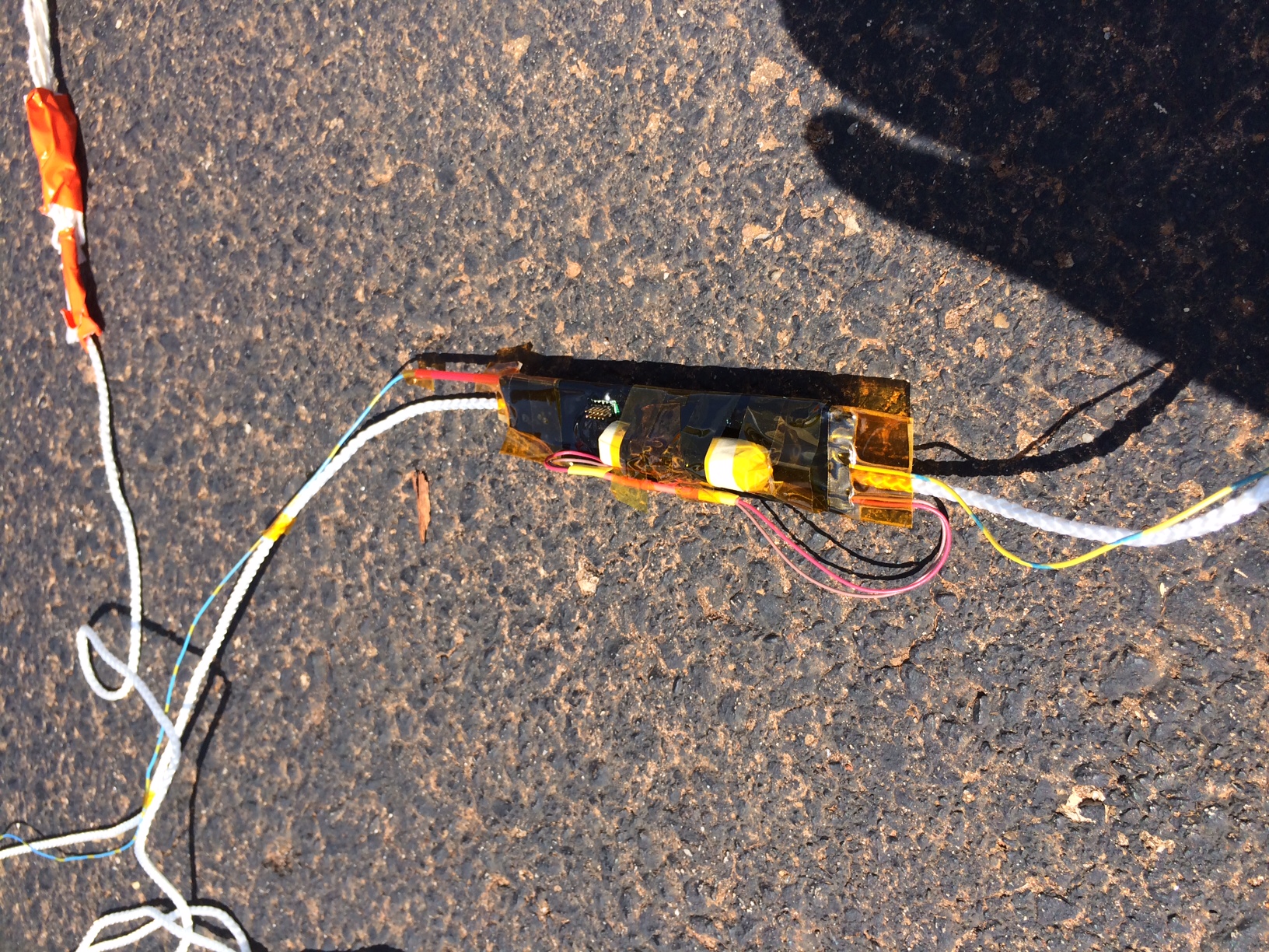
Well this flight was a failure from launch. It never got a GPS lock and nobody really knows where it went! This makes 2 failed launches in a row.